What is recorded here
Fairy fort, earthen ringfort and possible underground passage in Clonleigh, County Cork, Ireland. A circular enclosure on a south-facing slope, partly levelled but still marked by a low rise and overgrown ground. Local tradition and archaeological markers treat the site as a place where human life, burial and transformation overlapped.
On S-facing slope. Shown on 1842 OS 6-inch map as circular enclosure; as arc of hachures on later eds OS 6-inch map. Levelled; site defined by low rise (H c. 1m) to W; 11.5m of interior eastward of rise survives, overgrown; ploughed out elsewhere. Possible Man-made underground passage (CO125-009002-) in interior. Boulder burial (CO125-010---) in same field.
The above description is derived from the published 'Archaeological Inventory of County Cork. Volume 2: East and South Cork' (Dublin: Stationery Office, 1994). In certain instances the entries have been revised and updated in the light of recent research.
Date of upload/revision: 14 January 2009
The monument record does not grant public access. Check the route and ask the landowner before entering private land.
- What survives
- Recorded monument
Places near here
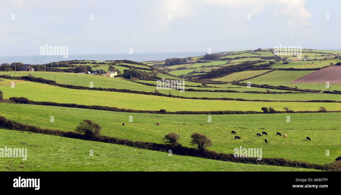 Man-made underground passage in ClonleighMan-made underground passage · 1 yd
 GalláinBoulder-burial · 86 yd
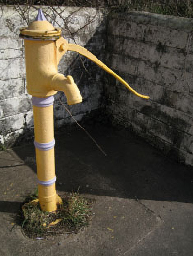 water pumpwater pump · 305 yd
 Cook HouseRuins · 927 yd
 Kinsale HarbourBay · 1184 yd
 Graveyard in ArdbrackGraveyard · 1723 yd
 Dock BeachBeach / strand · 1.1 mi
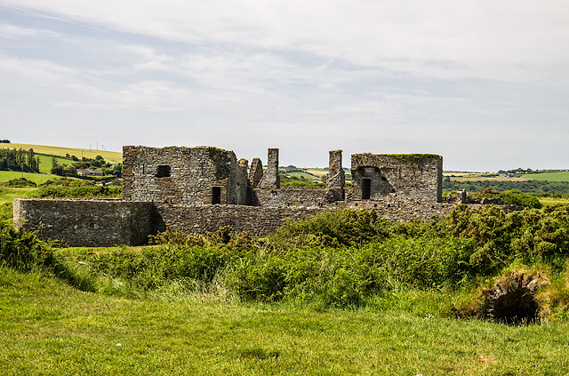 James FortVisitor information · 1.2 mi
 World War I MemorialMemorial · 1.4 mi
 Eoin O ConnorGallery · 1.5 mi
 Kinsale Harbour CruisesHeritage attraction · 1.5 mi
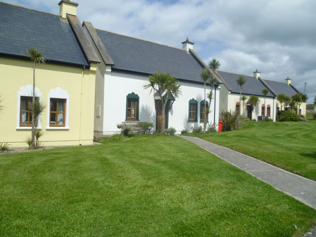 Kinsale Alms HousesVisitor information · 1.6 mi