What is recorded here
Thirty-three metres of earthen ring in Clonlack, County Offaly, where two banks and a ditch still mark the edge of a lost home. The southwest ramp may be the original entrance, inviting entry into a pasture that has kept its shape through centuries of change. People may have lived, hidden or tended herds within this oval, their footsteps erased but the boundary preserved. The land remembers what history forgets.
Single bank and ditch ringfort (max. diam. c. 33m) with slight traces of an outer bank and ditch S-W-NW. Ramp at SW may be original entrance.
In pasture with nearby enclosure (OF011-020----) to the S. Bivallate ringfort consisting of an oval shaped area (diam 24m; H 0.8m) enclosed by two earthen banks with intervening fosse (Wth 1m; D 1m). Causeway entrance (Wth 3m) at W. Inner bank (Wth 1.5m; H 1m), external bank (H 2m) destroyed at E by modern field boundary. D-shaped annexe attached to the N side where a gap runs from the platform through the banks into the D-shaped area (diam. 31m) which is defined by a low earthen bank (H 0.3m).
The above description is derived from the published 'Archaeological Inventory of County Offaly' (Dublin: Stationery Office, 1997). In certain instances the entries have been revised and updated in the light of recent research.
Date of upload: 23 May 2011
The monument record does not grant public access. Check the route and ask the landowner before entering private land.
- What survives
- Recorded monument
Places near here
 StructureStructure, peatland · 1399 yd
 Enclosure in ClonmeenEnclosure · 1704 yd
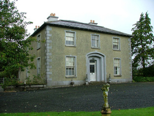 Ballinla Housefarm house · 1.2 mi
 Rhode Bridgebridge · 1.2 mi
 Ballybrittan CastleCastle, tower house · 1.4 mi
 Victoria PlantationWood · 1.7 mi
 Holy PlantationForest · 1.8 mi
 Clonin EarthworksMountain / peak · 2.2 mi
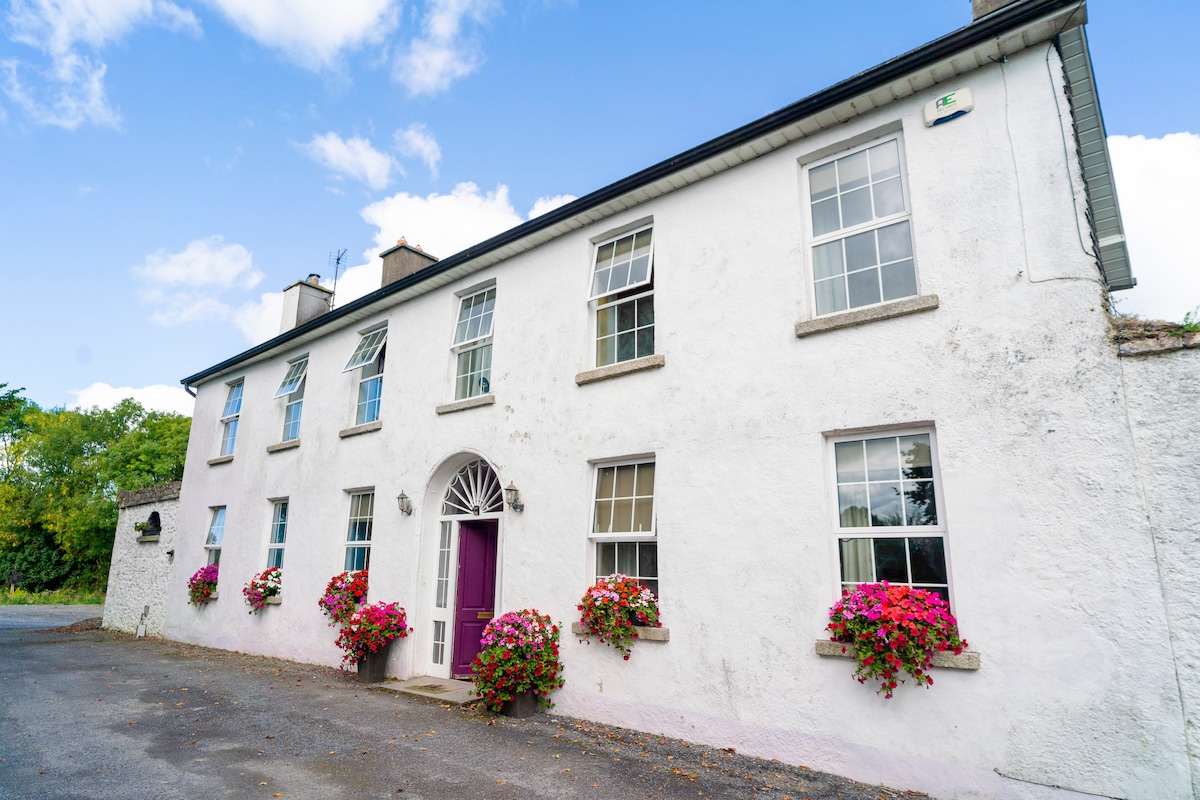 Ballyburly Ho.Castle, unclassified · 2.2 mi
 Moat HillMountain / peak · 4.1 mi
 Mountlucas Wind Farm Visitors CentreVisitor information · 4.3 mi
 Croghan Hill WalkVisitor information · 4.6 mi