What is recorded here
Situated on top of a NW-SE drumlin ridge. This is a grass and rush-covered circular area (int. diam. 34.6m E-W; 32.3m N-S) that slopes down slightly to the E, which is defined by a complete but overgrown earthen bank. This is separated by a fosse from the remnants of an outer earthen bank NNE-E. There is an entrance through the inner (Wth of base 2.1m) and outer (Wth of base 1.7m) banks and a causeway (Wth 3m; H 0.15m) at E. The rath has become overgrown since 1968.
The above description is derived from the published 'Archaeological Inventory of County Monaghan' (Dublin: Stationery Office, 1986). In certain instances the entries have been revised and updated in the light of recent research.
Date of revision: 24 July 2017
A local fairy fort (ringfort/rath); wider significance not recorded.
The monument record does not grant public access. Check the route and ask the landowner before entering private land.
- What survives
- Recorded monument
Places near here
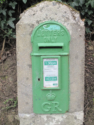 post boxpost box · 1082 yd
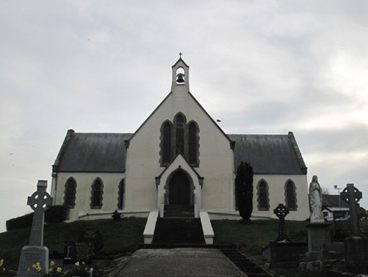 Saint Patrick's Catholic Churchchurch/chapel · 1128 yd
 Derrygorry WoodForest · 1417 yd
 SMALL ENCLOSURE in Favour Royal DemesneSMALL ENCLOSURE · 1439 yd
 Lismore WoodWood · 1559 yd
 Fairy fort / earthen ringfort in AghadrumcruFairy fort / earthen ringfort · 1.1 mi
 RAVELLA CASTLE:HOUSE AND BAWN in RavellaRAVELLA CASTLE:HOUSE AND BAWN · 1.4 mi
 St. Muadain's WellSpring · 2.4 mi
 Saint Patrick's ChairNamed rock · 2.6 mi
 MEDIEVAL CHURCH & GRAVEYARD: AGHALOO CHURCH in RouskyMEDIEVAL CHURCH & GRAVEYARD: AGHALOO CHURCH · 2.7 mi
 Coolberrin HillMountain / peak · 2.9 mi
 Carleton's CottageHeritage attraction · 3.7 mi