What is recorded here
Fairy fort / earthen ringfort in Cloncurrin stands on a short drumlin ridge in County Monaghan, Ireland. Its earthen bank and outer drain still mark a circular space about nineteen metres across, with a gap at the southeast. People may have lived, hidden or worshipped there before the land forgot their names. The ridge still holds the shape of that forgotten choice.
Located at the summit of a short E-W drumlin ridge. This is a raised circular grass and scrub-covered area (diam. 19.1m N-S; 19.1m E-W) defined by an overgrown earthen bank (at W: Wth of base 2m; int. H 0.3m; ext. H 1.4m) with an outer fosse or drain (at W: Wth of base 1.1m; ext. D 0.55m). There is an entrance gap (Wth of base 1.8m) at SE.
The above description is derived from the published 'Archaeological Inventory of County Monaghan' (Dublin: Stationery Office, 1986). In certain instances the entries have been revised and updated in the light of recent research.
Revised by: Michael Moore
Date of revision: 4 May 2018
The monument record does not grant public access. Check the route and ask the landowner before entering private land.
- What survives
- Recorded monument
Places near here
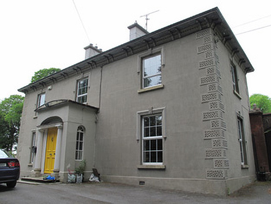 Cloncurrin Housecountry house · 668 yd
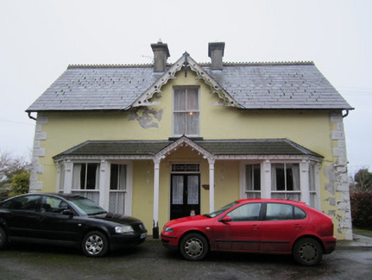 Ardeen Househouse · 848 yd
 Ulster Canal Stores Visitor CentreHeritage attraction · 1226 yd
 IndicatedEnclosure · 1369 yd
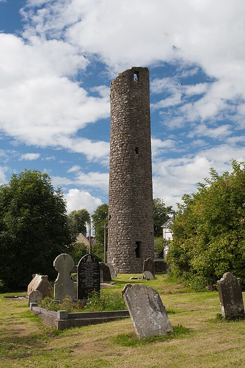 Round TowerRound tower · 1536 yd
 CastleCastle, motte and bailey · 1555 yd
 The Cassandra Hand CentreMuseum · 1610 yd
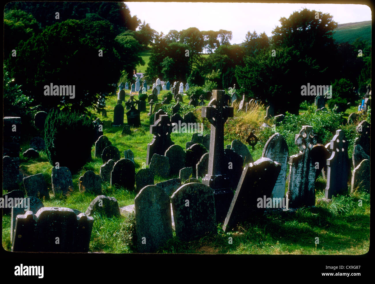 Clontivrin Grave YardArchaeological place · 1663 yd
 Bawn in CrossmoyleBawn · 1.0 mi
 European YewEuropean Yew · 1.1 mi
 Mullaghmore WoodWood · 1.7 mi
 Saint John's WellSpring · 2.7 mi