What is recorded here
Located on high ground with extensive views in all directions. Poorly preserved oval shaped enclosure (74m E-W by 54m N-S) enclosed by earthen bank (Wth 3 - 1m, int. H 1.5m), fosse (Wth 2 ; int. H 1.5m) and poorly preserved external bank visible at N only. No entrance feature visible. Possible ringfort.
The above description is derived from the published 'Archaeological Inventory of County Offaly' (Dublin: Stationery Office, 1997). In certain instances the entries have been revised and updated in the light of recent research.
Date of upload: 23 May 2011
The monument record does not grant public access. Check the route and ask the landowner before entering private land.
- What survives
- Recorded monument
Places near here
 BarrowBarrow, ditch barrow · 1499 yd
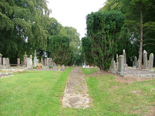 Clonminch Cemeterygraveyard/cemetery · 1641 yd
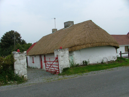 farm housefarm house · 1703 yd
 Mound in Ballyduff (ballycowan By.)Mound · 1.0 mi
 Grand Canal WayWalking route · 1.4 mi
 Bawn in BallydrohidBawn · 2.2 mi
 Srah CastleRuins · 2.2 mi
 Pedunculate OakPedunculate Oak · 2.3 mi
 Charleville ForestWood · 2.4 mi
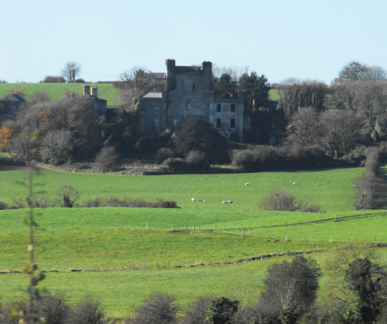 St O'Hara's HillMountain / peak · 2.5 mi
 Christ's WellSpring · 3.0 mi
 Scrub HillMountain / peak · 3.0 mi