What is recorded here
Mortons and Clonandra still drop into myth, yet the fort stands as fact: a twenty-nine-metre circular chamber surrounded by a deep fosse and high earthen bank. Its eastern causeway remains visible beneath vegetation, marking the entrance used by whoever lived there. The surrounding landscape preserves both human memory and natural change, making the fort easier to imagine than to explain.
Raised circular area (int. diam. c. 29m) enclosed by a wide, deep fosse and substantial earthen bank. Break in bank with accompanying causeway at ESE represents original entrance. Densely overgrown with vegetation.
The above description is derived from the published 'Archaeological Inventory of County Cavan' (Dublin: Stationery Office, 1995). In certain instances the entries have been revised and updated in the light of recent research.
Date of upload/revision: 22 December 2008
The monument record does not grant public access. Check the route and ask the landowner before entering private land.
- What survives
- Recorded monument
Places near here
 ClonandraMountain / peak · 690 yd
 IndicatedEnclosure · 756 yd
 Clonandra Ramulligan Bog WoodWood · 1126 yd
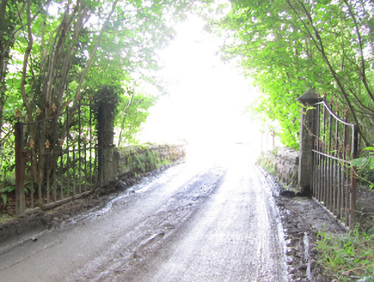 Castle Saundersonbridge · 1189 yd
 HOLY WELL in DrummullyHOLY WELL · 1715 yd
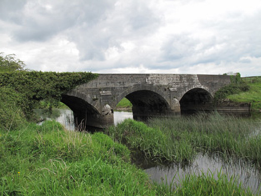 Annaghmullin Bridgebridge · 1718 yd
 Rabbit WarrenWood · 1760 yd
 Bawn in KillyfanaBawn · 1.1 mi
 RuinsHouse, fortified house · 1.4 mi
 DrumakeenanMountain / peak · 1.4 mi
 Annagh Lough BeachBeach / strand · 4.3 mi
 Belturbet Heritage Railway Station MuseumMuseum · 4.3 mi