What is recorded here
Fairy forts are not fairy forts. They are human rings, built and lived in before anyone invented the word fairy. In Clonagh the ring is partly gone, flattened by ploughs and time, but the cut edge and shallow ditch still mark a small circular home or stronghold on the slope. The fairies are a later story, perhaps told to keep people from breaking it open. The humans are the true occupants, and they are still standing there in earth.
In pasture, near foot of S-facing slope, surrounded by higher ground N->SSE. Monument, depicted as embanked circular enclosure (diam. c. 25m) on 1923 OS 6-inch map has been partially levelled. However, it is still apparent in field of pasture as circular area (18.2m N-S; 17m E-W) defined by scarped edge (H 0.4m; Wth 6.6m), with external fosse (Wth 2.1m; D 0.2m) NNE->SW.
Compiled by: Denis Power
Date of upload: 26 August 2011
The monument record does not grant public access. Check the route and ask the landowner before entering private land.
- What survives
- Recorded monument
Places near here
 bridgebridge · 382 yd
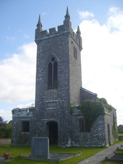 Kilscannell Churchchurch/chapel · 474 yd
 Grave YardGraveyard · 480 yd
 St. Kieran's WellSpring · 628 yd
 St. Kierans WellHoly well · 629 yd
 TobernablahySpring · 1.3 mi
 Bawn in Lisnacullia (connello Lower By.)Bawn · 1.4 mi
 CahermoyleCastle, unclassified · 1.9 mi
 European ashEuropean ash · 2.5 mi
 Limerick GreenwayWalking route · 6.8 mi
 Sugar HillMountain / peak · 8.4 mi
 Gammarel PointHeadland · 8.6 mi