What is recorded here
Situated at the S end of a NNW-SSE ridge and at a point where the old Castleblaney road curved a little to the W. There is local information about a circular feature visible when the area was ploughed. The area has been occupied by housing since before 1995 (OSI images), and its precise location is not known.
The above description is derived from the published 'Archaeological Inventory of County Monaghan' (Dublin: Stationery Office, 1986). In certain instances the entries have been revised and updated in the light of recent research.
Date of revision: 28 July 2017
The monument record does not grant public access. Check the route and ask the landowner before entering private land.
- What survives
- Recorded monument
Places near here
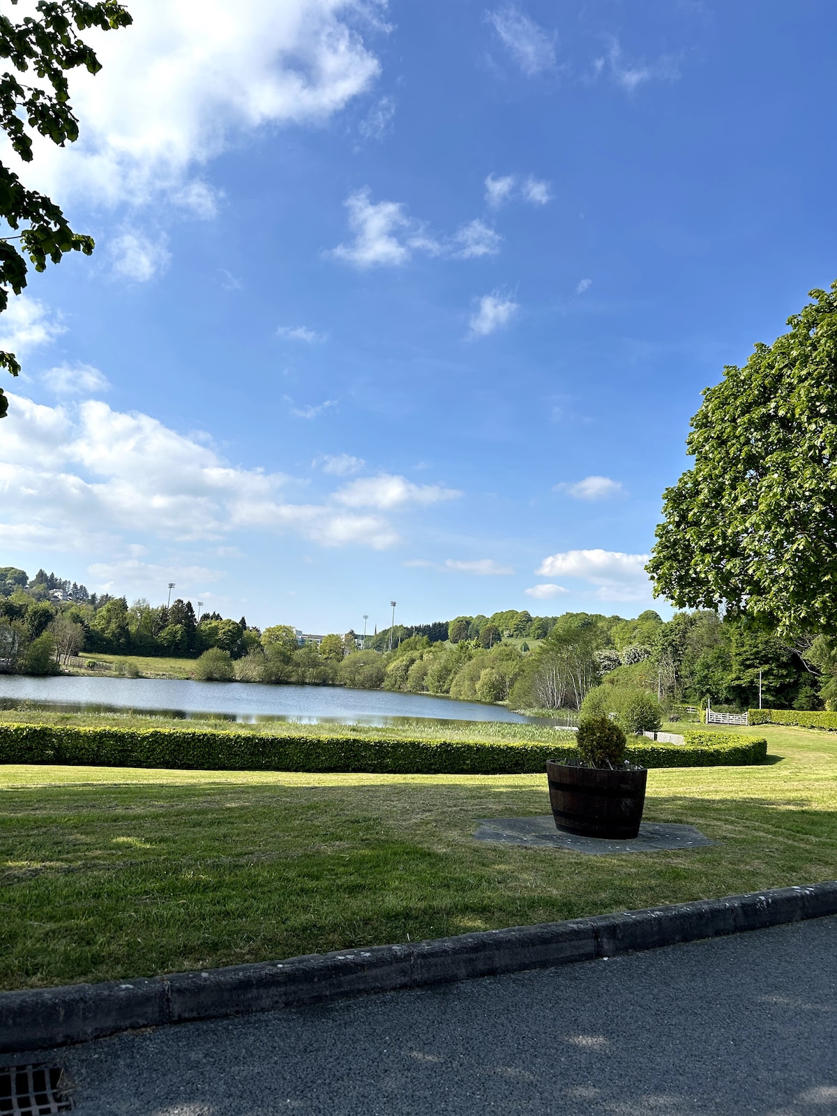 Embanked enclosureFairy fort / earthen ringfort · 300 yd
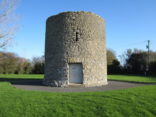 Gallows Hill Windmillmill (wind) · 307 yd
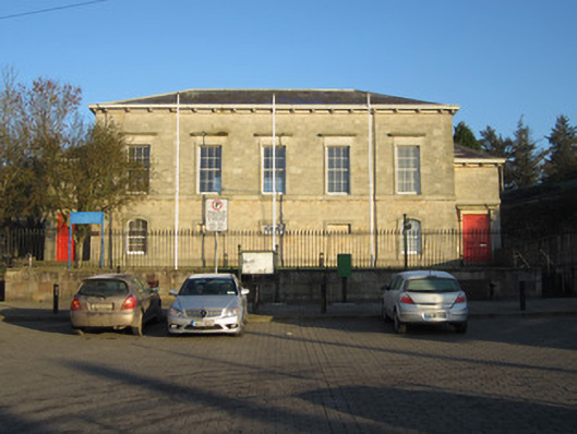 Carrickmacross Courthousecourt house · 376 yd
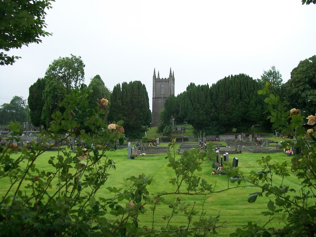 Burial ground in Cloghvally LowerBurial ground · 893 yd
 Horse-chestnutHorse-chestnut · 1175 yd
 European BeechEuropean Beech · 1.3 mi
 Mannan Castle (in ruins)Castle, Anglo-Norman masonry castle · 2.1 mi
 TobernagalliaghSpring · 2.8 mi
 CastleCastle, motte and bailey · 3.7 mi
 Drumerlough MoreMountain / peak · 4.5 mi
 Flat cemetery in AnnaheanFlat cemetery · 4.8 mi
 BarleyhillMountain / peak · 5.2 mi