What is recorded here
No fairy fort, no magic. A human dwelling, cut and built by hand. The ground remembers the shape of the people who stood there, not the stories told about them.
Situated on a gentle W-facing slope in poorly-drained pasture. Circular area (diam. 25m) defined by a scarped edge (Wth 4.3m; H 1.3m), with an external fosse fosse (Wth 4.1m; D 1.1m) from NW to SE. A metalled trackway runs NW-SE through the fosse from NW to SW, with the possible remains of a counter-scarp bank (ext. H 0.3m) visible to the SW of the trackway. A raised area of grassed-over stones and boulders (Wth 7m) crosses the fosse in the NW. The interior slopes down to the NW.
Compiled by: Denis Power
Date of upload: 18 June 2013
The monument record does not grant public access. Check the route and ask the landowner before entering private land.
- What survives
- Recorded monument
Places near here
 An Tobarhouse · 78 yd
 BarrowBarrow, ditch barrow · 185 yd
 Enclosure in CloghnadrominEnclosure · 189 yd
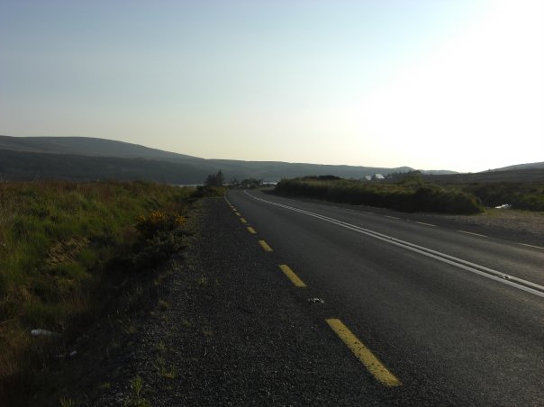 RoadRoad, road/trackway · 377 yd
 CastleCastle, unclassified · 1.2 mi
 Bawn in CarrigarreelyBawn · 1.4 mi
 Graveyard in AbingtonGraveyard · 3.0 mi
 Sliev Felim WayVisitor information · 4.3 mi
 Campus MapVisitor information · 4.7 mi
 ToberauillinSpring · 4.7 mi
 Fountain SculptureHeritage attraction · 4.8 mi
 Skool HillMountain / peak · 5.5 mi