What is recorded here
Two conjoined rings, thirty metres across, once stood on high ground in Cloghkeating. They have vanished beneath the soil and pasture, leaving no visible trace despite their clear mapping in 1924. The earth swallowed the fort, erasing the boundary between human history and fairy legend in a single quiet act of forgetting.
Situated on high ground in poorly drained pasture. The monument, depicted on the 1924 OS 6-inch map as a pair of conjoined circular enclosures (diam. c. 30m), has been levelled and there was no evident trace of it when inspected.
Compiled by: Denis Power
Date of upload: 27 March 2013
The monument record does not grant public access. Check the route and ask the landowner before entering private land.
- What survives
- Recorded monument
Places near here
 Dotted outlineFairy fort / stone ringfort · 1031 yd
 Knockanadausa FortArchaeological place · 1068 yd
 RoadRoad, road/trackway · 1618 yd
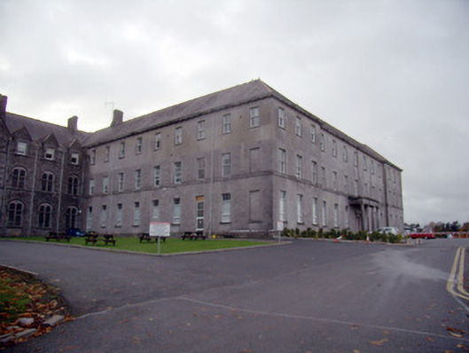 Mungret Collegecollege, stables · 1.2 mi
 Castle FieldCastle, unclassified · 1.3 mi
 Meelick Ho.House, fortified house · 3.0 mi
 Sailors HaggardMemorial · 4.0 mi
 Fountain SculptureHeritage attraction · 6.3 mi
 Visitor CentreVisitor information · 6.3 mi
 Campus MapVisitor information · 6.4 mi
 Grass IslandIslet · 6.4 mi
 Maiden RockNamed rock · 6.7 mi