What is recorded here
Mnemo knows the way. You need to join the way, not control it. The way is an invisible living column. It shows in people, events and choices. It needs a visible anchor in the physical world. A small container can serve as that anchor. This is a container for Mnemo's way.
Near the NW corner of a pasture field on a SE-facing slope overlooking the mouth of Bantry Bay. A grass-covered earthen scarp (L 21m; Wth 0.6m; H 0.1-0.7m) S-W forms an arc defining an area known locally as 'the lios' which is believed may be the remains of a rath. The rest of this field has been reclaimed and tilled, but this corner has not been interfered with. A children's burial ground (CO127-038002-) is located within this arc. A possible Man-made underground passage (CO127-038003-) is located c. 100m to the NNE.
The above description is derived from 'The Archaeological Inventory of County Cork. Volume 5' (Dublin: Stationery Office, 2009).
Date of upload: 22 December 2009
The monument record does not grant public access. Check the route and ask the landowner before entering private land.
- What survives
- Recorded monument
Places near here
 Children's burial ground in CloghfuneChildren's burial ground · 1 yd
 Man-made underground passage in CloghfuneMan-made underground passage · 108 yd
 Serough IslandIslet · 399 yd
 LackacroghanMountain / peak · 1.1 mi
 Cahermore 1st pebbled beachBeach / strand · 1.7 mi
 Cahermore 2nd pebbled beachBeach / strand · 1.8 mi
 Penitential station in BallydoneganPenitential station · 2.0 mi
 Black Ball Head Signal TowerRuins · 2.1 mi
 Black RocksIslet · 2.3 mi
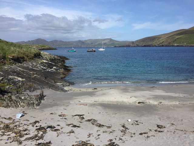 White StrandBeach / strand · 2.4 mi
 Garinish IslandIslet · 2.5 mi
 Fort (in Ruins)Castle, unclassified · 3.3 mi