What is recorded here
Fairy forts are not forts at all. They are ordinary ringforts misnamed because people stopped understanding them and began inventing instead. In Cloghergoole, most of the boundary has disappeared, leaving a shallow circular scar and a smaller raised disc inside. That disc may have been a hut, a hearth, or a house reduced to a mound. The fairies enter only when the facts thin out.
Raised circular area (int. diam. c. 34m) enclosed by slight traces of an earthen bank from W-N-S. Elsewhere the perimeter has been removed. Original entrance not recognisable. The interior is divided into two unequal portions by a field boundary running NNW-SSW. A raised roughly circular platform (diam. c. 8m N-S) which may represent a hut site, lies N of centre.
The above description is derived from the published 'Archaeological Inventory of County Cavan' (Dublin: Stationery Office, 1995). In certain instances the entries have been revised and updated in the light of recent research.
Date of upload/revision: 22 December 2008
This remains an important historical record, but the official description says the monument is no longer visible or has been destroyed. The monument record does not grant public access. Check the route and ask the landowner before entering private land.
- What survives
- No visible remains or recorded as destroyed
Places near here
 IndicatedFairy fort / earthen ringfort · 1462 yd
 Fairy fort / ringfort in CarrigabruseFairy fort / ringfort · 1605 yd
 R. C. ChapelChurch · 1.2 mi
 Cloghbally LowerMountain / peak · 1.4 mi
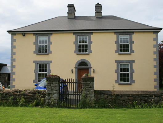 Pollintemple Housefarm house · 1.4 mi
 Georges IslandsIslet · 1.7 mi
 Cornaglare or PalmiraMountain / peak · 1.7 mi
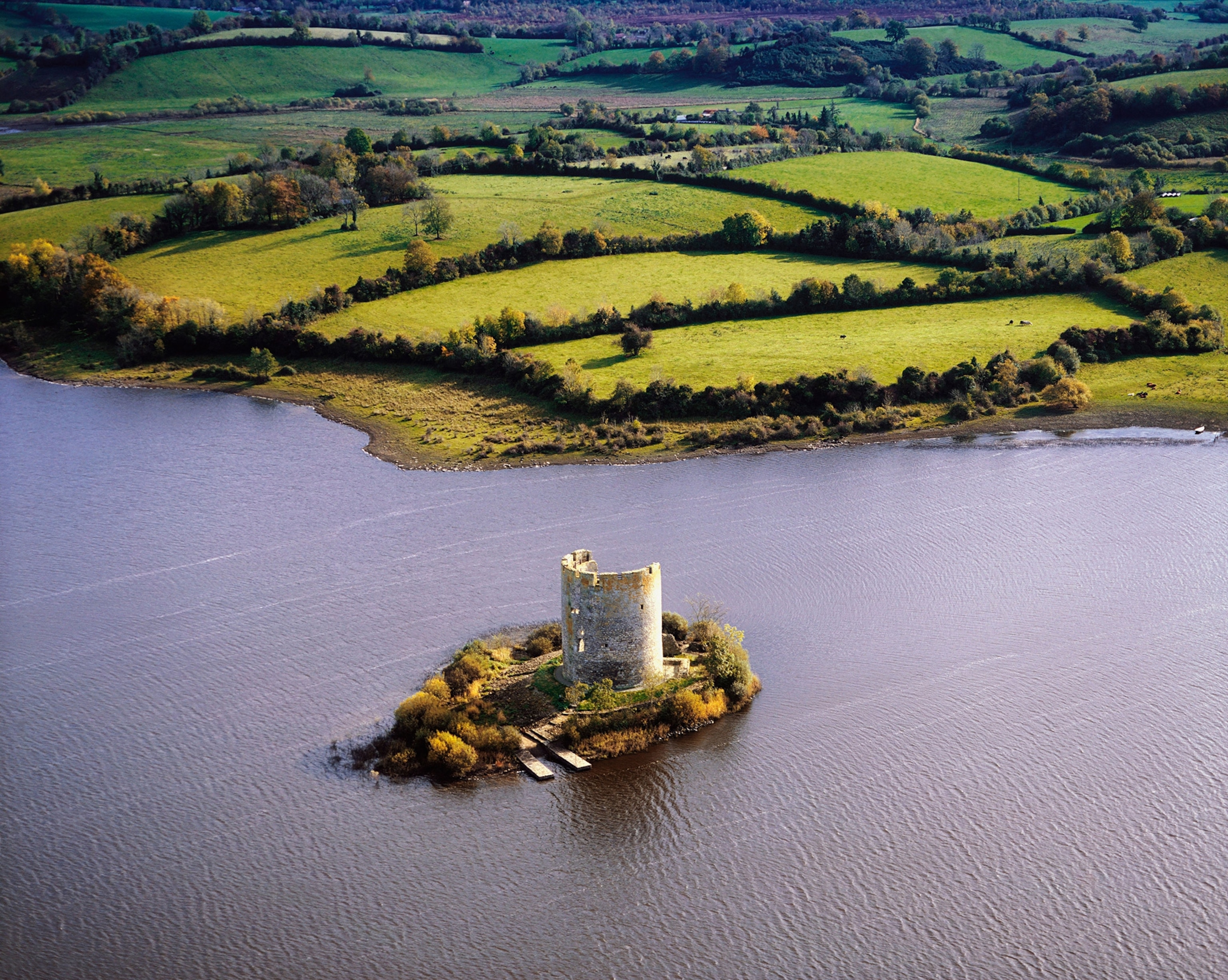 Woodworth's IslandIslet · 1.8 mi
 RahardrumCastle, unclassified · 1.8 mi
 Cloghballybeg ForestForest · 2.0 mi
 Sessile OakSessile Oak · 2.1 mi
 Ramor Aontaithe C.L.G. Dolan ParkMemorial · 2.2 mi