What is recorded here
Parkalassa still holds its shape on the SW-facing slope, a low earthen ring enclosing thirty metres of pasture. People called it a fairy fort, perhaps because the break in the southeast bank admitted more shadow than light. Humans may have lived there before fantasy moved in, shaping soil into a home that outlasted every name they gave it.
In pasture, on SW-facing slope. Roughly circular area (30m N-S; 28m E-W) enclosed by low rise. Break in bank to SE. According to local information, field known as 'Parkalassa'.
The above description is derived from the published 'Archaeological Inventory of County Cork. Volume 4: North Cork' (Dublin: Stationery Office, 2000). In certain instances the entries have been revised and updated in the light of recent research.
Date of upload/revision: 14 January 2009
The monument record does not grant public access. Check the route and ask the landowner before entering private land.
- What survives
- Recorded monument
Places near here
 Shanagh Castle (Site of)Castle, unclassified · 385 yd
 Prehistoric sitePrehistoric site, lithic scatter · 1005 yd
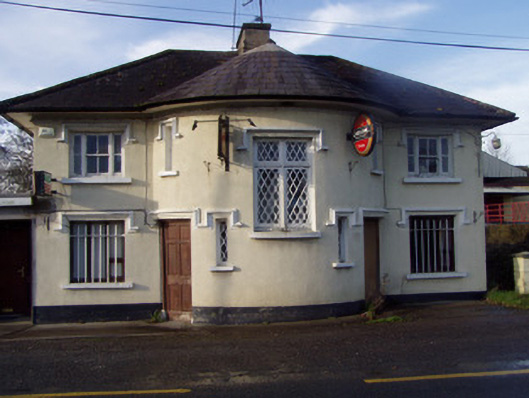 Nellie's BarRIC barracks · 1005 yd
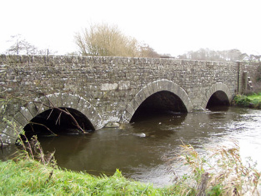 Ballinamona Bridgebridge · 1026 yd
 Claidh DubhLinear earthwork · 1163 yd
 Ruane Castle (Site of)Castle, unclassified · 1670 yd
 Horse Field WoodForest · 1.8 mi
 North Meadow WoodForest · 2.0 mi
 Anne's Grove GardensHeritage attraction · 2.5 mi
 Flat cemetery in Ballyenahan NorthFlat cemetery · 3.8 mi
 Smith's WellSpring · 3.9 mi
 Coolfree MountainMountain / peak · 4.8 mi