What is recorded here
No visible entrance to the rath, no gap in the bank, no door. The field cut through the outer ring long ago, but the inner circle remains unbroken. A fort without an opening either never needed one or stopped being human before the fields came.
Internal diameter 14m N-S, 16m E-W
This bivallate rath has a fieldbank and bohareen running along its N through W to SW side, thus levelling a large portion of the outer bank. The interior is sub-circular and is enclosed by a well-defined bank which rises to 1m above the interior and 1.8m-2.8m above the fosse. The fosse is evident for the whole site though it is not as well defined where the fieldbank and bohareen cut through it slightly. It is on average 6.4m wide. The outer bank is not as well preserved and survives as low and wide, 6m-8m wide at the base and rising to .9m above the fosse and 1.2m above the external ground level. It does not survive to the N through W to SW, where it has been cut by the fieldbank and bohareen. The overall diameter of this site NE-SW is 51m.
The above description is derived from C. Toal, ‘North Kerry Archaeological Survey’. Dingle. Brandon in association with FAS Training and Employment Authority (1995), no. 677. In certain instances the entries have been revised and updated in the light of recent research.
Date of upload: 2 August 2013
The monument record does not grant public access. Check the route and ask the landowner before entering private land.
- What survives
- Recorded monument
Places near here
 Enclosure in Clogher (clanmaurice By., Tubrid Ed)Enclosure · 466 yd
 Enclosure in BallyrobertEnclosure · 990 yd
 Abbey (in ruins)Religious house, Franciscan friars · 1361 yd
 Ardfert FriaryVisitor information · 1366 yd
 Ardfert Franciscan FriaryVisitor information · 1384 yd
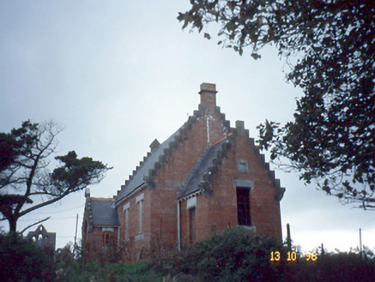 Ardfert Parish Roomchurch hall/parish hall · 1627 yd
 CastleCastle, unclassified · 1687 yd
 Ardfert CathedralHeritage attraction · 1706 yd
 15th Centenary of the birth of St-BredanMemorial · 1710 yd
 Statue of Roger CasementMemorial · 1.0 mi
 Site of CastleCastle, unclassified · 2.0 mi
 Tobar na MoltSpring · 2.1 mi