What is recorded here
Fairy fort / earthen ringfort in Clogher (ballintober North By.) is a fairy fort or earthen ringfort in Clogher (ballintober North By.), County Roscommon, Ireland. It occupies an oval grass-covered area 50.8m north-south and 37m east-west on the north-facing slope of a broad drumlin. A low scarp, 0.1m high at the south end and 0.6 to 0.8m elsewhere, defines the enclosure, though no fosse or entrance appears at ground level. Another rath lies about 180m to the southeast.
On the N-facing slope of a broad drumlin Oval grass-covered area (dims 50.8m N-S; 37m E-W) defined by a scarp (H 0.1m at S to 0.6-0.8m generally). There is no visible fosse or entrance at ground level, but the enclosure is visible on the digitalglobe images. Rath (RO012-018----) is c. 180m to the SE.
Compiled by: Michael Moore
Date of upload: 24 August 2010
The monument record does not grant public access. Check the route and ask the landowner before entering private land.
- What survives
- Recorded monument
Places near here
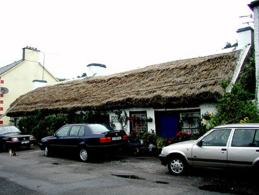 The Thatchhouse · 512 yd
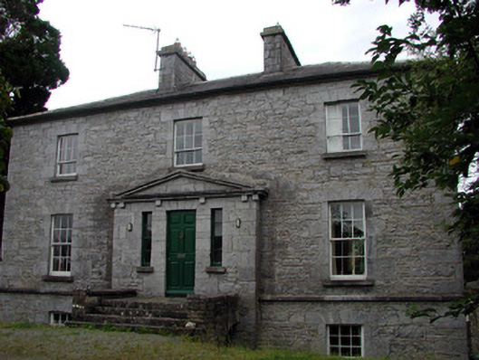 The Old Rectoryrectory/glebe/vicarage/curate's house · 650 yd
 Tobermacleggan WellHoly well · 950 yd
 Site of Dangan CastleCastle, unclassified · 1158 yd
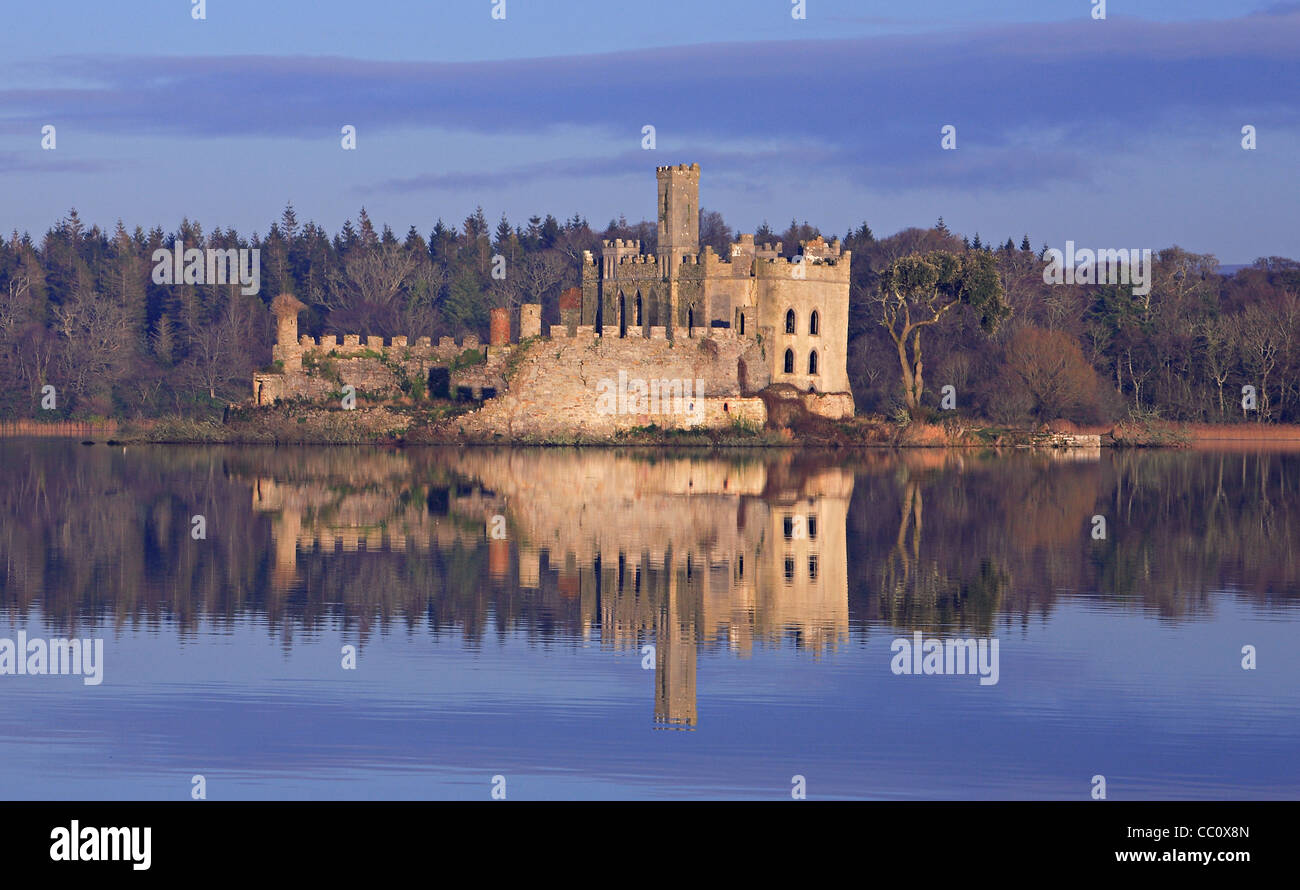 IndicatedFairy fort / earthen ringfort · 1689 yd
 Wildlife AreaNature reserve · 1.9 mi
 Tom Dunphy MemorialMemorial · 2.0 mi
 InishmoylinIslet · 2.1 mi
 Patrick Gill Memorial Plaque (IRA)Monument · 2.2 mi
 Coarse IslandForest · 2.3 mi
 Dockery's IslandIslet · 2.3 mi
 Moon RiverHeritage attraction · 4.6 mi