What is recorded here
Fairy fort / earthen ringfort in Clogher (ballintober North By.) is a fairy fort or earthen ringfort in Clogher (ballintober North By.), County Roscommon, Ireland. It appeared on the 1914 Ordnance Survey map as a small circular feature on a gentle southeast-facing drumlin slope. Later descriptions identified an eroded earthen bank and outer fosse, but the site is no longer visible in reclaimed pasture.
Marked only on the 1914 ed. of the OS 6-inch map as a small circular feature (diam. c. 20m), and situated on a gentle SE-facing slope of a broad drumlin. It was described in 1955 as a circular area (diam. c. 18m N-S) defined by a slight earthen bank (max. H c. 0.4m) and hedge with traces of an outer fosse (SMR file). It was described as a circular area defined by an eroded earthen bank and outer fosse (Gannon 1972). It is no longer visible at ground level in reclaimed pasture. Rath (RO012-019----) is c. 150m to the SE, and enclosure (RO012-021----) is c. 180m to the NW.
Compiled by: Michael Moore
Date of upload: 2 January 2012
The monument record does not grant public access. Check the route and ask the landowner before entering private land.
- What survives
- Recorded monument
Places near here
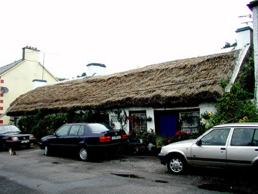 The Thatchhouse · 372 yd
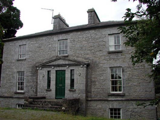 The Old Rectoryrectory/glebe/vicarage/curate's house · 509 yd
 Tobermacleggan WellHoly well · 729 yd
 Site of Dangan CastleCastle, unclassified · 1311 yd
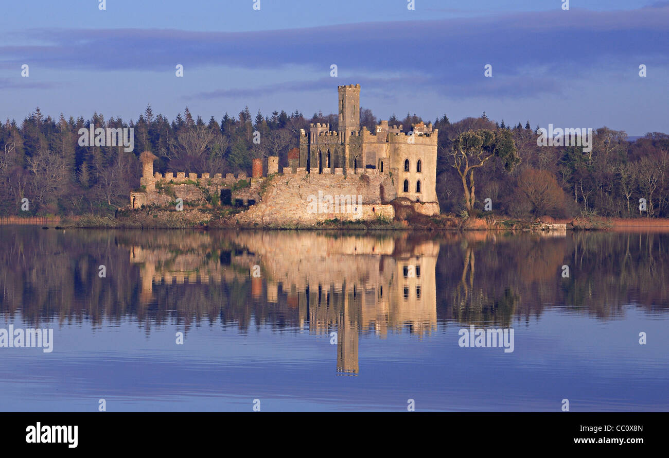 IndicatedFairy fort / earthen ringfort · 1705 yd
 InishmoylinIslet · 1.9 mi
 Wildlife AreaNature reserve · 2.0 mi
 Tom Dunphy MemorialMemorial · 2.0 mi
 Coarse IslandForest · 2.2 mi
 Dockery's IslandIslet · 2.2 mi
 Patrick Gill Memorial Plaque (IRA)Monument · 2.3 mi
 Cavan & Leitrim RailwayMuseum · 4.6 mi