What is recorded here
Fairy fort in Cloghbally Upper is a raised circular area about twenty-eight metres across, enclosed by a low earthen bank with a possible entrance at the south-east. A slight earth and stone bank cuts through the interior from north-west to south-east, while a broad ramp leads up to the top of the main bank at the north-east. The shape suggests a lived-in boundary, perhaps marking a home, a boundary or a place of ritual, yet no named person or date remains attached to it.
Raised circular area (int diam. c. 28m) enclosed by a low earthen bank and traces of a possible fosse. Break in bank at SE may represent original entrance. A slight earth and stone bank with a short segment of scarp set at a right angle to its SW side, runs through the interior in a NW-SE direction. At NNE a broad ramp-like feature leads up to the top of the bank from the internal area.
The above description is derived from the published 'Archaeological Inventory of County Cavan' (Dublin: Stationery Office, 1995). In certain instances the entries have been revised and updated in the light of recent research.
Date of upload/revision: 22 December 2008
The monument record does not grant public access. Check the route and ask the landowner before entering private land.
- What survives
- Recorded monument
Places near here
 Cloghbally LowerMountain / peak · 722 yd
 Cloghballybeg ForestForest · 904 yd
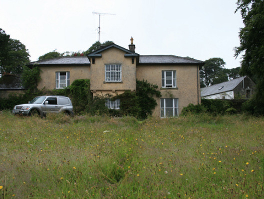 Lake View Housecountry house · 1095 yd
 IndicatedHoly well · 1400 yd
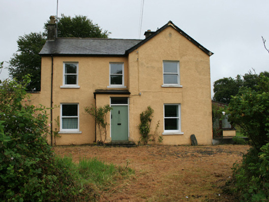 Gorteen Househouse · 1499 yd
 Crow IslandIslet · 1571 yd
 Green IslandPromontory fort, inland · 1752 yd
 Sally IslandIslet · 1.0 mi
 CastleCastle, unclassified · 1.7 mi
 Feegat ForestWood · 2.3 mi
 Cornaglare or PalmiraMountain / peak · 2.5 mi
 Sit of Old CastleCastle, unclassified · 2.5 mi