What is recorded here
Mortons and other humans may have circled the fort, but the fairies kept the center. The road cuts through the ring now, yet the waterlogged ditch and earthen bank still mark the boundary between human haste and fairy patience.
In pasture, on gentle SW-facing slope. Circular area (33m E-W) defined by earthen bank (int. H 0.4m) to NW and NE->E; scarp (0.85m) NNW->NE and ESE->WSW. Roadway (Wth 8m) bisects enclosure E-W; drain runs along N side of roadway with farm trackway to S. External waterlogged fosse (D 1.3m) remains where bank survives in N half and outside scarp to SE.
The above description is derived from the published 'Archaeological Inventory of County Cork. Volume 4: North Cork' (Dublin: Stationery Office, 2000). In certain instances the entries have been revised and updated in the light of recent research.
Date of upload/revision: 14 January 2009
The monument record does not grant public access. Check the route and ask the landowner before entering private land.
- What survives
- Recorded monument
Places near here
 Cloch an Othara HouseHouse, vernacular house · 466 yd
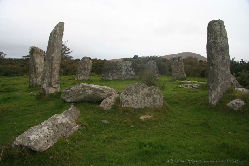 BarrowBarrow, ring-barrow · 644 yd
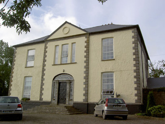 Milltown Castlecountry house · 767 yd
 TumulusCastle, motte · 1.3 mi
 CastleCastle, motte · 2.0 mi
 Holy Cross CemeteryGraveyard · 3.1 mi
 Windmill HillMountain / peak · 3.4 mi
 Ballyhoura WayWalking route · 4.0 mi
 CarrigeenMountain / peak · 5.4 mi
 Battle of LiscarrollMajor battlefield · 5.5 mi
 Saint Derivla's WellSpring · 5.7 mi