What is recorded here
Situated on a gentle rise, in pasture, with good views in all directions. Monument described in 1976 as an oval-shaped area (dims. 43m E-W; 25m N-S) enclosed by an earth and stone bank and shallow external fosse. The bank and fosse are best preserved at SW. The earth and stone bank has been broken down and breached in several places and the fosse is very shallow. The interior has a gentle E-facing slope and is featureless.
See attached profile of monument surveyed and drawn by ASI.
Compiled by Alison McQueen, Vera Rahilly and Caimin O’Brien.
Date of upload: 17 July 2019
The monument record does not grant public access. Check the route and ask the landowner before entering private land.
- What survives
- Recorded monument
Places near here
 Goldsmith's Residencerectory/glebe/vicarage/curate's house · 434 yd
 Bawn in Cannorstown (hogan)Bawn · 998 yd
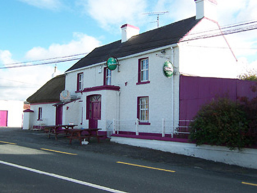 Three Jolly Pigeonshouse · 1004 yd
 Partially hachuredFairy fort / earthen ringfort · 1264 yd
 IndicatedCrannog · 1273 yd
 Kilfaughny CastleCastle · 1.1 mi
 Noughaval CemeteryArchaeological place · 2.4 mi
 European BeechEuropean Beech · 3.4 mi
 Killinure BayBay · 3.6 mi
 Leveret IslandIslet · 3.7 mi
 Portlick Millennium ForestWood · 3.8 mi
 Traveen BayBay · 3.9 mi