What is recorded here
Fairy forts are no such thing. They are human ringforts, often farmed flat before record-keeping arrived. Cloghaneleesh kept its shape long enough to mark maps and aerial photos, then disappeared under the plough. What remains is a absence with a name, a circle erased but never forgotten by the land that first held it.
This site is marked on the 1842 and 1916 OS maps as a circular enclosure that has been slightly cut on its E side by a fieldbank running N-S. It also shows up clearly on the Geological Survey of Ireland aerial photographs (1974). However, this site has been levelled and no surface trace survives.
The above description is derived from C. Toal, ‘North Kerry Archaeological Survey’. Dingle. Brandon in association with FAS Training and Employment Authority (1995), no. 332. In certain instances the entries have been revised and updated in the light of recent research.
Date of upload: 2 August 2013
The monument record does not grant public access. Check the route and ask the landowner before entering private land.
- What survives
- Recorded monument
Places near here
 LisnagreeArchaeological place · 398 yd
 Site of Ballingarry CastleCastle, unclassified · 582 yd
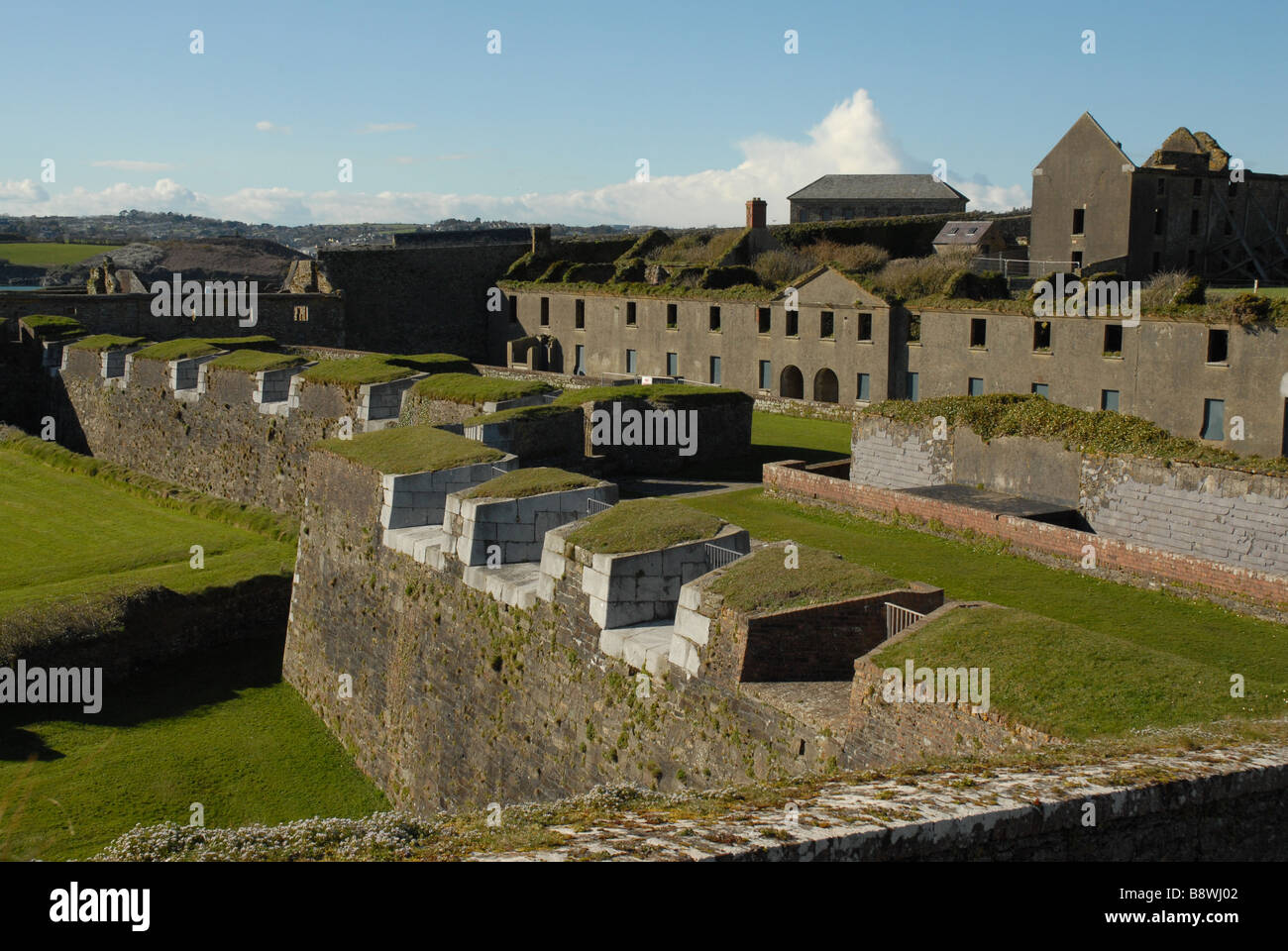 Fortification in CloghaneleeshFortification · 665 yd
 Bridge in CloghaneleeshBridge · 766 yd
 Castle Shannon (in ruins)Castle, unclassified · 1576 yd
 Inshaboy PointHeadland · 1.4 mi
 St. Dahalins Church (in ruins)Church · 1.9 mi
 Our Lady's Holy WellSpring · 2.7 mi
 Maulin MountainMountain / peak · 2.7 mi
 Pierce's IslandIslet · 3.1 mi
 Triskbeg MountainMountain / peak · 3.6 mi
 Clashmealcon CavesCave · 5.1 mi