What is recorded here
Situated on a rise in gently undulating pasture, with good views of the surrounding landscape. Ringforts (WM031-068----/-067----) lie c. 60m to W and c. 165m to N. Depicted on the 1910 ed. OS 25-inch map as a substantial oval-shaped earthwork. Monument described in 1973 as a large, roughly oval-shaped area (dims. 63m N-S; 51m E-W) enclosed by an inner bank of earth and stone, an intervening fosse and an outer bank. Traces of an outer bank are only present from WSW-W-WNW. There is a possible entrance at NE. The interior has a gentle S-facing slope and there is a possible house site (WM031-069001-) within. Monument is visible as a tree-lined earthwork on Digital Globe aerial photography.
Compiled by Alison McQueen, Vera Rahilly and Caimin O’Brien.
Date of upload: 22 November 2019
The monument record does not grant public access. Check the route and ask the landowner before entering private land.
- What survives
- Recorded monument
Places near here
 Hut site in CloghanaskawHut site · 10 yd
 Partially hachuredFairy fort / earthen ringfort · 583 yd
 Windmill StumpRuins · 837 yd
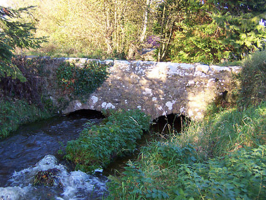 bridgebridge · 1076 yd
 CastleCastle, unclassified · 1.2 mi
 Syonan CastleCastle · 1.3 mi
 Japanese pagoda treeJapanese pagoda tree · 3.7 mi
 Kilmalady HillMountain / peak · 3.8 mi
 ToberaskeenSpring · 6.0 mi
 Roughan HillMountain / peak · 6.1 mi
 Ardan WoodWood · 6.8 mi
 Charles BianconiMemorial · 7.1 mi