What is recorded here
A strange contradiction lives inside the fairytale name. The fort is a human rath, an earthen ring on a Monaghan ridge, yet local tradition still calls it a fairy fort. That label does not disguise the facts, it deepens them. The measurements and entrance gap remain visible, while the fairy story admits what the shape resists: a place old enough to escape ordinary explanation.
Located on the NW-facing slope of a small NW-SE ridge. This rath is indicated on McCrea’s Map of the county of Monaghan (1793) and on the 1834 and 1907 editions of the OS 6-inch map. It is an oval grass and scrub-covered area (dims 34m NNW-SSE; 24m ENE-WSW) that slopes down to the NW. It is defined by an earthen bank (at SW: Wth of base 3.9m; int. H 0.2m; ext. H 2.3m; at SE: Wth of base 2.9m; int. H 0.9m; ext. H 0.7m) NE-S-NW that is reduced to a scarp elsewhere with an outer field bank built against it W-E-S. A gap (Wth of base 1.9m) at ESE is probably the original entrance and it is blocked by the field bank. There is no visible fosse and a straight NW-SE field bank is just outside the perimeter at SW.
The above description is derived from the published 'Archaeological Inventory of County Monaghan' (Dublin: Stationery Office, 1986). In certain instances the entries have been revised and updated in the light of recent research.
Revised by: Michael Moore
Date of revision: 22 June 2018
The monument record does not grant public access. Check the route and ask the landowner before entering private land.
- What survives
- Recorded monument
Places near here
 Michael MooreFairy fort / earthen ringfort · 345 yd
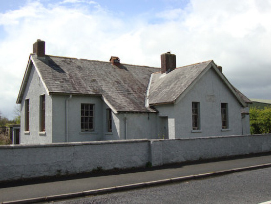 Annyalla National Schoolschool · 971 yd
 Not iindicatedHut site · 977 yd
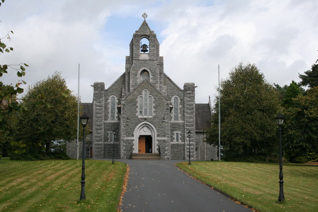 Saint Michael's Catholic Churchchurch/chapel · 1125 yd
 Battle of ClontibretBattlefield · 3.5 mi
 Fort HillWood · 3.6 mi
 Monaghan WayWalking route · 3.6 mi
 John Francis GreenMemorial · 3.6 mi
 The CrescentMemorial · 3.8 mi
 Bawn in OnomyBawn · 4.3 mi
 Blaney CastleCastle · 4.3 mi
 Harper's IslandIslet · 4.4 mi