What is recorded here
Fairy forts hide in plain sight, wearing scrub and grass like a cloak. Cloghacloka is no different: a sub-oval ring, about fifty metres long and forty wide, marked by a modest earthen bank and shallow outer ditch. It sits on a rise in County Limerick pasture, still commanding the land even when vegetation tries to erase it. What looks like a forgotten mound may be a threshold, not a mistake.
Situated on a rise in gently undulating pasture with good views in all directions. Depicted on the 1924 OS 6-inch map as a sub oval area (c. 50m N-S; c. 40m E-W) enclosed by a bank. The monument is heavily obscured by dense scrub vegetation but the enclosing element is evident as an earthen bank (int. H 0.4m; Wth 1.4m; ext. H 1.1m) with an external fosse (Wth 2.1m; D 0.2m).
Compiled by: Denis Power
Date of upload: 24 April 2013
The monument record does not grant public access. Check the route and ask the landowner before entering private land.
- What survives
- Recorded monument
Places near here
 Field system in CloghaclokaField system · 362 yd
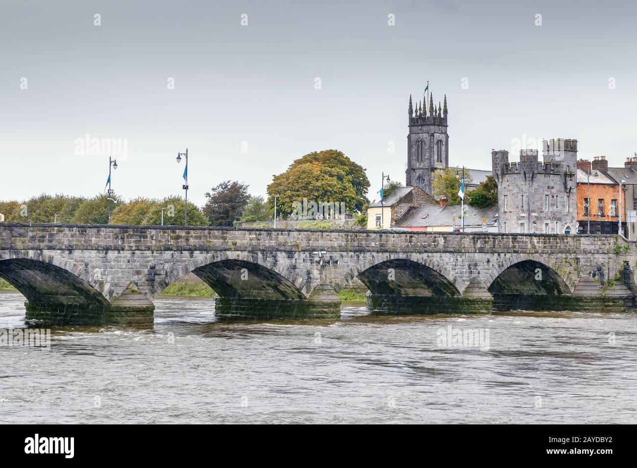 Mound in GreenmountMound · 657 yd
 Castle FieldCastle, unclassified · 748 yd
 Ballymurphy Househouse · 1.2 mi
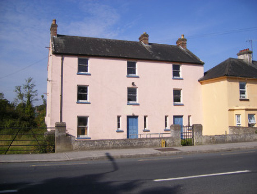 RIC barracksRIC barracks · 1.2 mi
 Ballinveala Castle (in ruins)Castle, tower house · 2.5 mi
 Sailors HaggardMemorial · 5.1 mi
 Grass IslandIslet · 7.4 mi
 Kinnoor WellSpring · 7.5 mi
 Maiden RockNamed rock · 7.7 mi
 Flat cemetery in Kiltenan SouthFlat cemetery · 8.2 mi
 Mellon PointHeadland · 8.3 mi