What is recorded here
Fairy forts are human birthplaces, not fantasy. They are where people first learned to shape the earth into rooms large enough for imagination. Cloghacloka may have vanished under grass and forgetting, but its circle still holds the shape of that discovery.
Situated on a gentle NW-facing slope, in pasture, with good views to N, W and E and sheltered to S. Depicted as a circular enclosure (diam. c. 25m) on the 1840 OS 6-inch map but not marked on the 1924 OS 6-inch map. The monument was not evident on the ground when inspected.
Compiled by: Denis Power
Date of upload: 24 April 2013
The monument record does not grant public access. Check the route and ask the landowner before entering private land.
- What survives
- Recorded monument
Places near here
 Field system in CloghaclokaField system · 576 yd
 Burnt mound in CloghaclokaBurnt mound · 609 yd
 Castle FieldCastle, unclassified · 789 yd
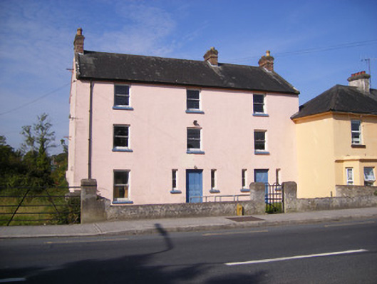 RIC barracksRIC barracks · 1.2 mi
 Bridge in DerryknockaneBridge · 1.2 mi
 Ballinveala Castle (in ruins)Castle, tower house · 2.7 mi
 Sailors HaggardMemorial · 4.9 mi
 King's IslandIsland · 5.4 mi
 Fountain SculptureHeritage attraction · 6.7 mi
 Visitor CentreVisitor information · 6.7 mi
 Campus MapVisitor information · 6.7 mi
 Grass IslandIslet · 7.3 mi