
What is recorded here
Situated in gently rolling, poorly drained pasture. The site, an irregular ovoid, flat-topped area (21m NE-SW; 15m SE-NW) defined by scarp edge (H c. 1m) beside a small stream was recorded during an EIS for the N20/N21 Adare-Annacotty road scheme, and was subsequently excavated by James Eogan (96E380-AR12). The mound had been partially eroded by livestock at its NW and SW sides; at the NW side a possible stone setting or revetment was noted at the edge of the monument. Beneath a layer of sandstone pebbles a layer of possibly burnt stones mixed with loose black soil was found. Nothing was found to date the monument.
Compiled by: Denis Power
Date of upload: 31 May 2013
Burnt mound in Cloghacloka is a Bronze Age ritual or industrial site, characterized by a heap of heat-shattered stones. Its significance lies in providing evidence of prehistoric activity, possibly related to cooking, metalworking, or ceremonial practices.
The monument record does not grant public access. Check the route and ask the landowner before entering private land.
- What survives
- Recorded monument
Places near here
 Fulacht fia in CloghaclokaFulacht fia · 109 yd
 Field system in CloghaclokaField system · 770 yd
 Castle FieldCastle, unclassified · 1394 yd
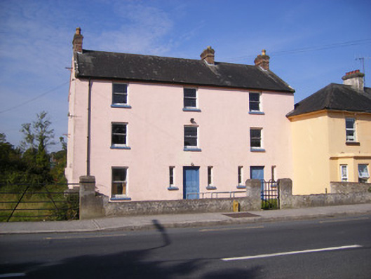 RIC barracksRIC barracks · 1666 yd
 Duane Villepresbytery/parochial/curate's house · 1.0 mi
 Ballinveala Castle (in ruins)Castle, tower house · 2.8 mi
 Sailors HaggardMemorial · 4.7 mi
 King's IslandIsland · 5.4 mi
 Fountain SculptureHeritage attraction · 6.8 mi
 Visitor CentreVisitor information · 6.8 mi
 Campus MapVisitor information · 6.8 mi
 Grass IslandIslet · 6.9 mi
Other information
Photo: Credit not shown in the picture search · Rights wording not checked; contact us if this picture should be removed