What is recorded here
In pasture, on top of a drumlin. A circular area (int. diam. 37m) enclosed by two earthen banks with an intervening fosse. The inner bank (Wth 2.5m; int. H 1.2m) is evident all round. The intervening fosse (Wth 4m) is partially quarried near the entrance at NE. The outer bank (Wth 1.5m; int. H 1.6m; ext. H 1.5m) is also evident all round. There is an entrance (Wth 1m) at NE with a causeway across the fosse.
The above description is derived from the published 'Archaeological Inventory of County Sligo' compiled by Ursula Egan, Elizabeth Byrne, Mary Sleeman with Sheila Ronan and Connie Murphy (Dublin Stationery Office, 2005).
Date of upload: 18 January 2008
The monument record does not grant public access. Check the route and ask the landowner before entering private land.
- What survives
- Recorded monument
Places near here
 Man-made underground passage in Ballinvoher (corran By.)Man-made underground passage · 909 yd
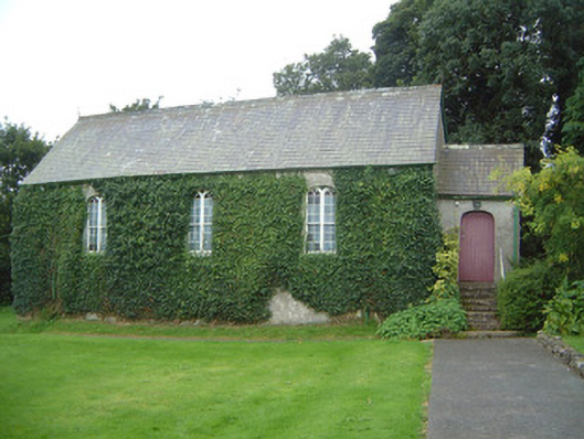 Graniamore Presbyterian Churchchurch/chapel · 1186 yd
 Lugacaha fortFairy fort / earthen ringfort · 1.0 mi
 Bothar an Corann or Bothar na SlieveRoad, road/trackway · 1.1 mi
 School CaveCave · 1.4 mi
 Kesh CorannMountain / peak · 1.5 mi
 Caves of KeshCave · 1.5 mi
 Ballymote CastleCastle · 2.4 mi
 Bricklieve Castle (in Ruins)Castle, unclassified · 2.4 mi
 Brother WalfridMemorial · 2.4 mi
 Treanscrabbagh caveCave · 3.3 mi
 Bricklieve MountainsMountain / peak · 3.8 mi