What is recorded here
Situated on ground sloping gradually to the N in pasture. A roughly circular levelled enclosure with traces of an external fosse at E. In the 1950s it was described as a low platform ringfort (diam. 34m N-S; 37.6m E-W) with a well-defined bank (ext. H 0.6m) and an enclosing fosse (Wth 1.8m; D 0.3m), except in the NE quadrant which was transected by a field fence (OPW Correspondence 1957).
The above description is derived from 'The Archaeological Inventory of County Tipperary. Vol. 1 - North Tipperary' compiled by Jean Farrelly and Caimin O'Brien (Dublin: Stationery Office, 2002). In certain instances the entries have been revised and updated in the light of recent research.
Date of upload/revision: 22 September 2008
The monument record does not grant public access. Check the route and ask the landowner before entering private land.
- What survives
- Recorded monument
Places near here
 RathfallaFairy fort / earthen ringfort · 492 yd
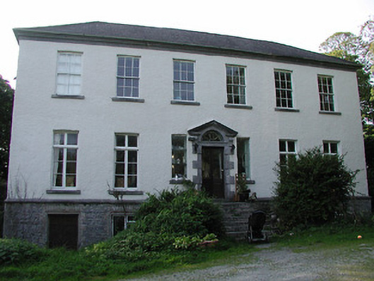 Rathurles Housecountry house · 894 yd
 Rathurles CastleCastle · 942 yd
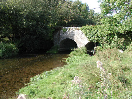 Rathurles Bridgebridge · 1020 yd
 RathurlesFairy fort / earthen ringfort · 1074 yd
 Ballintotty Castle (in ruins)Castle, tower house · 1.1 mi
 James Devaney MemorialMemorial · 1.8 mi
 Gibbet HillMountain / peak · 2.8 mi
 Old BarracksHeritage attraction · 2.9 mi
 Nenagh Heritage CentreMuseum · 3.1 mi
 Ballycapple WoodForest · 3.8 mi
 Kyleroe WoodWood · 4.8 mi