What is recorded here
Fairy fort in Clashnacrona West stands as a circular earthen ring atop a hillock, enclosing thirty-four metres of pasture with a two-metre bank and shallow outer ditch. Its narrow southeast causeway invites entry into a space now planted with trees, while removed fences expose the ancient boundary to the open sky. The shape suggests human hands built a defensible home or marker centuries ago, yet local tradition assigns it to fairy activity, blending practical architecture with imaginative danger.
In pasture, atop hillock. Circular area (34.3m N-S; 34.8m E-W) enclosed by earthen bank (H 2.6m) with external fosse (D 0.85m). Causeway entrance (Wth 0.8m) to SE. Interior planted with trees. Surrounding field fences removed.
The above description is derived from the published 'Archaeological Inventory of County Cork. Volume 1: West Cork' (Dublin: Stationery Office, 1992). In certain instances the entries have been revised and updated in the light of recent research.
Date of upload/revision: 14 January 2009
The monument record does not grant public access. Check the route and ask the landowner before entering private land.
- What survives
- Recorded monument
Places near here
 IndicatedFairy fort / earthen ringfort · 1083 yd
 Milane HillMountain / peak · 1632 yd
 CaheruagongarFairy fort / stone ringfort · 1.2 mi
 Pookeen North TopMountain / peak · 2.4 mi
 Graveyard in ToughmacdermodyGraveyard · 2.5 mi
 Coolkellure Housecountry house · 2.8 mi
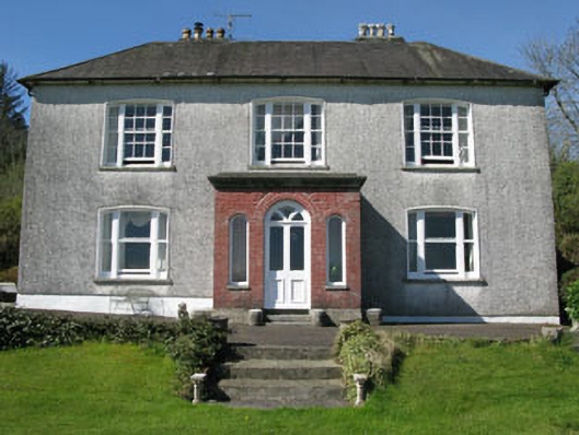 Manor Househouse · 2.9 mi
 Mohona WoodWood · 3.2 mi
 Drimoleague Heritage Loop WalkWalking route · 3.6 mi
 Delish Cascade WalkWalking route · 3.7 mi
 Castle (Site of)Castle, Anglo-Norman masonry castle · 3.7 mi
 Dunmanway Heritage CentreVisitor information · 4.0 mi