What is recorded here
Fairy forts are not evidence of fairies. They are abandoned human settlements, often from the Iron Age or medieval period, misnamed because people stopped living there and the land became empty. The true wonder is human: these were real homes, farms or shelters that time erased from memory.
In pasture, on WSW-facing slope. Circular area (38m E-W; 36m N-S) defined by earthen bank (H 1.2m) NNW->W; scarp elsewhere. External fosse (D 1m) survives W->N, best preserved W->NNW where skirted by field boundary. Gaps in bank to N (Wth 1m) and E. Remains of cultivation ridges cross interior on N-S axis.
The above description is derived from the published 'Archaeological Inventory of County Cork. Volume 3: Mid Cork' (Dublin: Stationery Office, 1997). In certain instances the entries have been revised and updated in the light of recent research.
Date of upload/revision: 14 January 2009
The monument record does not grant public access. Check the route and ask the landowner before entering private land.
- What survives
- Recorded monument
Places near here
 Fulacht FiadhFulacht fia · 823 yd
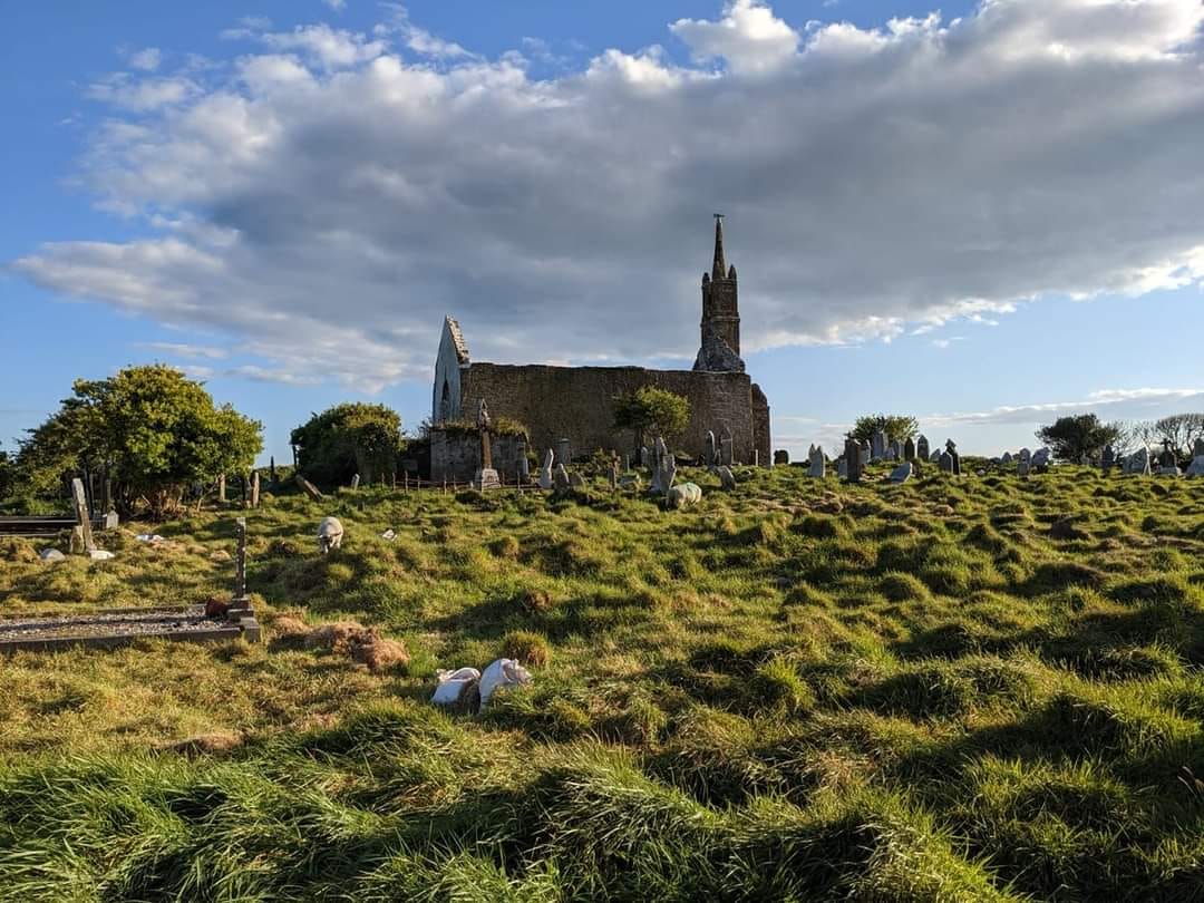 GravesBurial · 948 yd
 Bealahacreagh Bridgebridge · 1312 yd
 Penitential station in ScronagarePenitential station · 1.1 mi
 Carrigaphooca CastleCastle · 2.7 mi
 Cnoc na nUlán (mullach thoir)Mountain / peak · 2.8 mi
 Neill's WoodWood · 3.3 mi
 Curraheen WoodWood · 3.4 mi
 KnockullaneMountain / peak · 3.6 mi
 Dundareirke Castle (in Ruins)Castle, tower house · 3.8 mi
 Clonavrick CliffCliff · 4.3 mi
 Macroom WalksVisitor information · 4.6 mi