What is recorded here
Clashganniv held a twenty-five-metre earthen ring on a sun-facing slope beside a lime kiln, but human hands or ploughs have since erased the bank. The earth swallowed the fort, leaving only a field name and a faint memory of shape. What remained is a hole in the landscape where a life once turned, not a monument to be pointed at.
In pasture, on S-facing slope. Depicted as hachured circular enclosure (diam. c. 25m) on 1842 OS 6-inch map, with lime kiln on bank to S. Levelled; no visible surface trace. According to local information, field known as 'kiln field'.
The above description is derived from the published 'Archaeological Inventory of County Cork. Volume 4: North Cork' (Dublin: Stationery Office, 2000). In certain instances the entries have been revised and updated in the light of recent research.
Date of upload/revision: 14 January 2009
The monument record does not grant public access. Check the route and ask the landowner before entering private land.
- What survives
- Recorded monument
Places near here
 Ballyhoura WayWalking route · 243 yd
 Burial GroundBurial ground · 775 yd
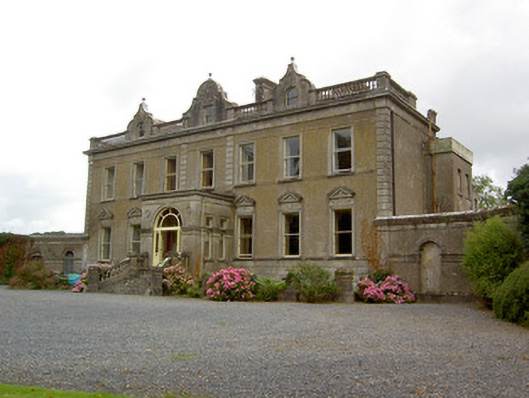 Burton Parkcountry house · 1142 yd
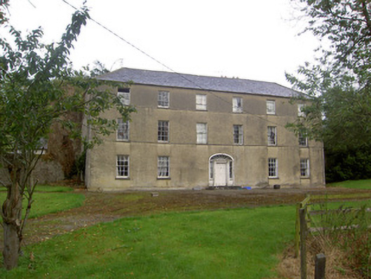 Churchtown Housecountry house · 1313 yd
 Churchtown Horse Racing HeritageMonument · 1444 yd
 Castle (Site of)Castle, unclassified · 1.2 mi
 Windmill HillMountain / peak · 1.3 mi
 Templeconnell Castle (in Ruins)Castle, tower house · 1.7 mi
 Churchtown TrailsVisitor information · 1.9 mi
 Buttevant Rail DisasterMemorial · 3.0 mi
 Rogan's Rock CovertWood · 3.5 mi
 David HurleyMemorial · 3.5 mi