
What is recorded here
Fourteen low stones and a missing child. Grove White claimed the place buried still-born infants, yet no grave marker remains. The land keeps what it wants and hides the rest.
Shown on 1842 and 1937 OS 6-inch maps as oval area (c. 15m N-S; c. 11m E-W) enclosed by dotted line; not shown on 1905 OS 6-inch map. In level pasture, 9.7m E of standing stone (10181). Irregular area defined by scatter of c. 40 low stones; many embedded in ground. According to Grove White (1905-25, vol. 4, 314), burial place for still-born children.
The above description is derived from the published 'Archaeological Inventory of County Cork. Volume 4: North Cork' (Dublin: Stationery Office, 2000). In certain instances the entries have been revised and updated in the light of recent research.
Date of upload/revision: 14 January 2009
The monument record does not grant public access. Check the route and ask the landowner before entering private land.
- What survives
- Recorded monument
Places near here
 Ballyhoura WayWalking route · 582 yd
 Walshestown HoCountry house · 811 yd
 Walshestown Househouse · 818 yd
 Fulacht FiadhFulacht fia · 1564 yd
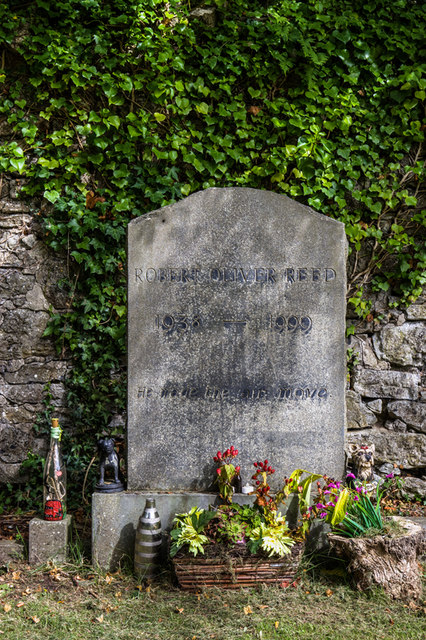 Grave YardGraveyard · 1700 yd
 Castle (Site of)Castle, unclassified · 1.2 mi
 Templeconnell Castle (in Ruins)Castle, tower house · 1.3 mi
 Windmill HillMountain / peak · 1.7 mi
 Churchtown TrailsVisitor information · 1.7 mi
 Buttevant Rail DisasterMemorial · 2.6 mi
 David HurleyMemorial · 3.1 mi
 SycamoreSycamore · 3.1 mi
Other information
Photo: Credit not shown in the picture search · Rights wording not checked; contact us if this picture should be removed