What is recorded here
No visible fort remains at Clashganniff, though local names and alignments suggest a buried or lost ringfort. The land may have worn smooth, been cut for fields or hidden beneath grass and soil. Forgetting is common in Limerick, where ordinary pasture covers layers of human life.
In pasture, on gentle E-facing slope. Circular area (diam. 27m) enclosed by earthen bank, with external fosse (Wth 3.5m; D 0.4m) SW->SSE. Bank (int. H 1.2m; ext. H 2.5m), heavily masked by overgrowth, is best preserved along SE arc. Causeway entrance (Wth 7.8m) at ESE. Interior is covered with briars and nettles.
Compiled by: Denis Power
Date of upload: 26 August 2011
The monument record does not grant public access. Check the route and ask the landowner before entering private land.
- What survives
- Recorded monument
Places near here
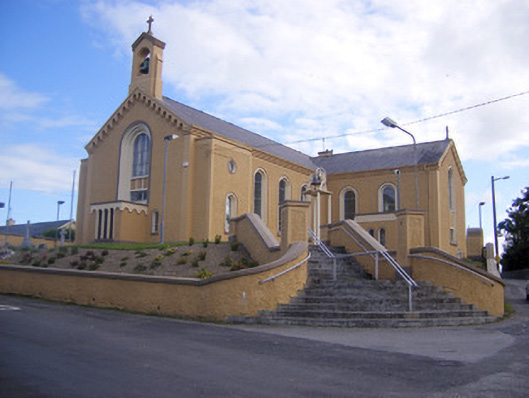 Saint Senan's Catholic Churchchurch/chapel · 904 yd
 Elm Villehouse · 1167 yd
 Slab-lined burial in MoigSlab-lined burial · 1401 yd
 Rathfarra - HachuredFairy fort / earthen ringfort · 1590 yd
 Castle (Site of)Castle, unclassified · 1.1 mi
 Shanid CastleCastle · 1.1 mi
 Foynes Flying Boat & Maritime MuseumMuseum · 3.5 mi
 Foynes Island ViewpointViewpoint · 3.7 mi
 Gammarel PointHeadland · 3.9 mi
 Monterey CypressMonterey Cypress · 3.9 mi
 St. Luke's WellSpring · 4.1 mi
 Foynes IslandIsland · 4.2 mi