What is recorded here
No, that is a new exact place name and exact claim. The saved facts do not identify the real website or the exact local story.
In pasture, on E-facing slope below brow of low ridge. Circular area (diam. c. 30m) enclosed by earthen bank with external fosse (Wth 2m; D 0.6m). Bank (int. H 1.75m; ext. H 2.4m), heavily masked by vegetation overgrowth, is best preserved at NNE. Entrance (Wth 6.15m) at W with causeway across fosse. Fosse, best preserved at NNE, contains seam of exposed limestone at SE. Interior is obscured by a dense cover of vegetation overgrowth.
Compiled by: Denis Power
Date of upload: 26 August 2011
The monument record does not grant public access. Check the route and ask the landowner before entering private land.
- What survives
- Recorded monument
Places near here
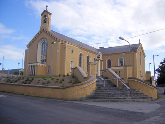 Saint Senan's Catholic Churchchurch/chapel · 564 yd
 Elm Villehouse · 883 yd
 Holy well in Shanagolden DemesneHoly well · 1505 yd
 Enclosure in ParkmoreEnclosure · 1555 yd
 Site of CastleCastle, unclassified · 1.1 mi
 Castle (Site of)Castle, unclassified · 1.2 mi
 Foynes Flying Boat & Maritime MuseumMuseum · 3.3 mi
 Foynes Island ViewpointViewpoint · 3.5 mi
 Gammarel PointHeadland · 3.7 mi
 Monterey CypressMonterey Cypress · 3.8 mi
 Foynes IslandIsland · 4.1 mi
 St. Luke's WellSpring · 4.2 mi