What is recorded here
Fairy fort in Clashganniff, County Limerick: a 31m earthen ring on a low ridge, its scarped edge still standing 0.8m high beneath pasture and a later field bank. People may have lived inside, excluded others at the rim, and left the rest to legend. The measurement is plain; the life is lost.
In pasture, atop low ridge. Circular area (31m N-S; 29.7m E-W) defined by scarped edge SW->NE, but scarp overlain by field boundary (H 0.75m) NE->SW. Scarp (H 0.8m; Wth 5.5m) best preserved at NNE, lowers SW->NW (H 0.3m). Level interior under rough pasture.
Compiled by: Denis Power
Date of upload: 26 August 2011
The monument record does not grant public access. Check the route and ask the landowner before entering private land.
- What survives
- Recorded monument
Places near here
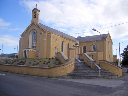 Saint Senan's Catholic Churchchurch/chapel · 456 yd
 Elm Villehouse · 794 yd
 Holy well in Shanagolden DemesneHoly well · 1421 yd
 Enclosure in ParkmoreEnclosure · 1435 yd
 Site of CastleCastle, unclassified · 1.1 mi
 Castle (Site of)Castle, unclassified · 1.3 mi
 Foynes Flying Boat & Maritime MuseumMuseum · 3.3 mi
 Foynes Island ViewpointViewpoint · 3.5 mi
 Gammarel PointHeadland · 3.7 mi
 Monterey CypressMonterey Cypress · 3.8 mi
 Foynes IslandIsland · 4.0 mi
 Battery PointHeadland · 4.1 mi