What is recorded here
Fairy fort in Clashelane, County Cork: a circular earthwork about 25 metres across, with an earthen bank, shallow outer ditch, and a gap to the northeast. It sits in pasture on a south-facing slope, now so overgrown that the centre cannot easily be seen. People may have lived there, or excluded others from it, or simply marked the land as different. The name leaves room for all three.
In pasture, on S-facing slope. Circular heavily overgrown area (diam. c. 25m) enclosed by earthen bank (int. H 0.45m; ext. H 0.8m); external fosse (D 0.5m) surviving E->S with shallow depression to N. Surface of bank covered in loose and partially embedded stone; overgrown. Entrance (Wth 3.6m) to NE. Interior inaccessible due to overgrowth of bushes.
The above description is derived from the published 'Archaeological Inventory of County Cork. Volume 4: North Cork' (Dublin: Stationery Office, 2000). In certain instances the entries have been revised and updated in the light of recent research.
Date of upload/revision: 14 January 2009
The monument record does not grant public access. Check the route and ask the landowner before entering private land.
- What survives
- Recorded monument
Places near here
 Rath (Site of)Fairy fort / earthen ringfort · 212 yd
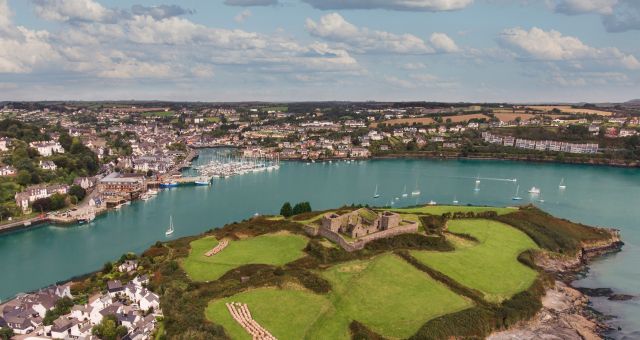 Mound in ClashelaneMound · 495 yd
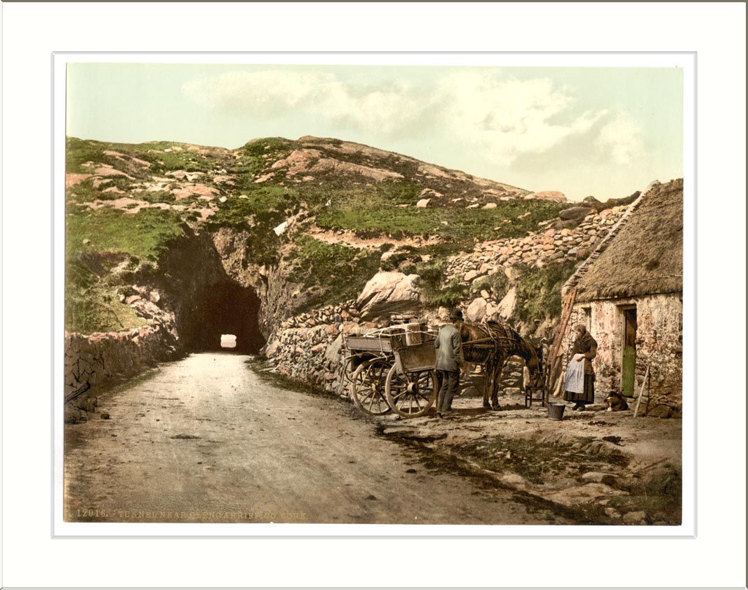 Quarry in ClashelaneQuarry · 564 yd
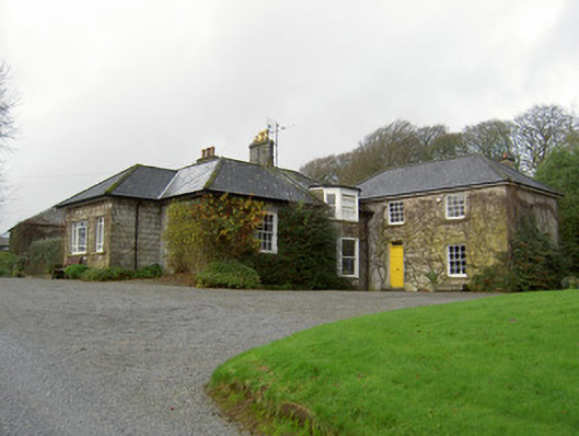 Egmont Cottagehouse · 695 yd
 Churchtown TrailsVisitor information · 833 yd
 Templeconnell Castle (in Ruins)Castle, tower house · 1444 yd
 CarrigadoonCastle, unclassified · 1553 yd
 Ballyhoura WayWalking route · 1.5 mi
 Windmill HillMountain / peak · 1.9 mi
 Buttevant Rail DisasterMemorial · 2.1 mi
 Lady's WellSpring · 2.3 mi
 David HurleyMemorial · 2.7 mi