What is recorded here
Half-buried in Clasheen pasture, the fort keeps its circular shape beneath grass and roadside traffic. Someone lived there, loved there, and vanished. The mountains still rise beyond the bank, unchanged.
In level pasture, with views SW to Macgillycuddy's Reeks. A circular area (23m NW-SE; 22m NE-SW) defined by two earthen banks with an intervening fosse and an outer fosse. The inner bank (Wth 3.65m; int. H 0.7m; ext. H 2.1m) is evident ESE-NNW. The intervening fosse and outer bank (Wth 3.8m; int. H 1.6m; ext. H 1m) are evident ENE-NNW. Intermittent traces of a shallow outer fosse (Wth 1.5m; D c. 0.1m) are evident ENE-NNW. The inner bank is heavily overgrown S-NNW. A road (N22) and a wall truncate the NE arc. There is a break in the outer bank at S. A field boundary abuts the outer bank at WNW and another skirts externally along the SSW arc. A strip along the NE side of the rath was excavated in the 1990s due to the upgrading of the road. Excavation revealed a spread of burnt soil, stone and iron pan on a gravel layer, suggesting to the excavator that 'some form of smelting or metal working' had occurred at the site (Connolly 1994, 42). A possible Man-made underground passage (KE067-039001-) and a possible hut site (KE067-039002-) are in the level interior.
Compiled by: Elizabeth Byrne, Ursula Egan and Sheila Ronan, Archaeological Survey Unit, University College, Cork.
Date of upload: 31 January 2011
This monument is subject to a preservation order made under the National Monuments Acts 1930 to 2014 (PO no. 40/1976).
The monument record does not grant public access. Check the route and ask the landowner before entering private land.
- What survives
- Recorded monument
Places near here
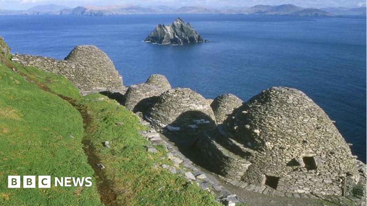 Hut site in ClasheenHut site · 11 yd
 CahereenFairy fort / stone ringfort · 529 yd
 Religious houseReligious house, Franciscan friars · 931 yd
 Woodfordhouse · 1.1 mi
 Lissivigeen Stone CircleHeritage attraction · 1.2 mi
 Flesk CastleCastle · 1.3 mi
 Mass RockNamed rock · 1.3 mi
 Sheheree Bog Nature ReserveNature reserve · 1.4 mi
 The Blue PoolGallery · 2.0 mi
 Blue Pool Nature ReserveWood · 2.0 mi
 McCarthy Mor CastleCastle · 2.2 mi
 Castlelough BayBay · 2.6 mi