What is recorded here
Fairy fort in Clashagad Upper: a D-shaped earthen ring, 55 metres long, with a northern gap and a shallow outer ditch on a low upland rise. People may have lived there, excluded others, or left the fort empty on purpose. The measurements are clear; the life inside is not.
Situated on a low natural rise in upland area. D-shaped area (55m E-W; 40m N-S) enclosed by earthen bank (Wth 2m; int. H 0.5m; ext. H 0.8m) and external fosse (Wth 3m; ext. D 0.3m) with entrance gap (Wth 4m) at N.
The above description is derived from the published 'Archaeological Inventory of County Offaly' (Dublin: Stationery Office, 1997). In certain instances the entries have been revised and updated in the light of recent research.
Date of upload: 23 May 2011
The monument record does not grant public access. Check the route and ask the landowner before entering private land.
- What survives
- Recorded monument
Places near here
 Enclosure in CastleroanEnclosure · 419 yd
 Castle (in ruins)Castle, tower house · 818 yd
 CastleCastle, motte · 1028 yd
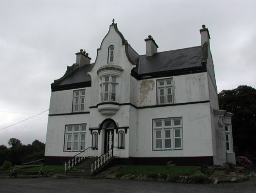 The Rectoryrectory/glebe/vicarage/curate's house · 1540 yd
 DunkerrinSettlement deserted, medieval · 1608 yd
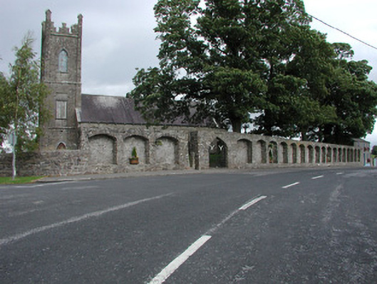 Dunkerrin Churchchurch/chapel · 1629 yd
 Longford WoodForest · 2.5 mi
 BenduffMountain / peak · 3.5 mi
 Coolock WoodForest · 3.9 mi
 Borrisnoe MountainMountain / peak · 4.6 mi
 Roscrea Petty Sessions HouseHeritage attraction · 5.0 mi
 Millennium GardenMemorial · 5.9 mi