What is recorded here
Fairy fort / earthen ringfort in Clanickny stands at the summit of a NNW-SSE drumlin ridge in County Monaghan, a circular grass-covered area about thirty metres across marked by a slight scarp and small bank. The 1834 edition of OS 6-inch map depicted it in gothic lettering as a ‘fort’, capturing a shape that has watched the ridge for centuries. Whether it guarded a household, marked a boundary or belonged to the fairy stories locals still tell, the ring remains clear enough to walk around and imagine.
Located at the summit of and towards the N end of a NNW-SSE drumlin ridge. A circular embanked enclosure (ext. diam. c. 30m) is depicted on the 1834 edition of OS 6-inch map where it is described in gothic lettering as a ‘fort’. A circular grass-covered area (diam. 32.5m N-S; 31m E-W) is defined by a slight scarp, with a small bank and outer fosse extant NW-NE and it merges into a NNW-SSE field bank at E.
The above description is derived from the published 'Archaeological Inventory of County Monaghan' (Dublin: Stationery Office, 1986). In certain instances the entries have been revised and updated in the light of recent research.
Date of revision: 30 August 2017
The monument record does not grant public access. Check the route and ask the landowner before entering private land.
- What survives
- Recorded monument
Places near here
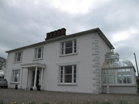 Annagola Housecountry house · 1153 yd
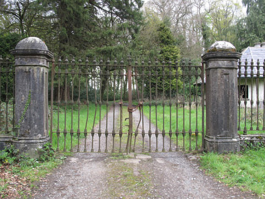 Castle Lesliegates/railings/walls · 1356 yd
 Old WoodForest · 1.1 mi
 Historic Settlement Middletown in MiddletownHistoric Settlement Middletown · 1.2 mi
 EnclosureEnclosure, large enclosure · 1.4 mi
 Lebanon CedarLebanon Cedar · 1.5 mi
 Harry LaveryMemorial · 1.5 mi
 Emyvale Heritage TrailVisitor information · 4.5 mi
 Monaghan County MuseumMuseum · 5.4 mi
 Rossmore MonumentMemorial · 5.6 mi
 Bawn in Roosky (monaghan By., Monaghan Par.)Bawn · 5.6 mi
 Navan FortArchaeological place · 7.5 mi