
What is recorded here
Situated on a low hillock in a loop of the River Cor with the stream running W-E c. 160-180m to the S and turning N c. 125m from the monument at the closest point. A slightly raised and probably domed grass-covered area (diam. c. 75m E-W; c. c. 65m N-S), perhaps with a fosse at the perimeter especially E-S-W is visible on Google Earth (07/02/2019). It is traversed by an E-W field bank with trees at the points where it crosses the perimeter. It may have been a tree-ring. It was first reported in 2018 by Susan Curran from a LiDAR image, and was also noted by Jean Charles Caillère.
Compiled by: Michael Moore
Date of upload: 11 March 2020
Amended: 13 May, 2020
The monument record does not grant public access. Check the route and ask the landowner before entering private land.
- What survives
- Recorded monument
Places near here
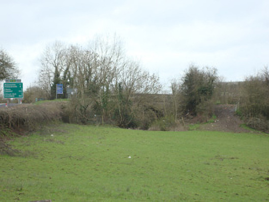 bridgebridge · 1466 yd
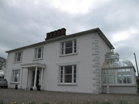 Annagola Housecountry house · 1556 yd
 Historic Settlement Middletown in MiddletownHistoric Settlement Middletown · 1644 yd
 ENCLOSURE in KnockbaneENCLOSURE · 1.0 mi
 Old WoodForest · 2.4 mi
 Harry LaveryMemorial · 2.9 mi
 Caldwells' WoodWood · 3.1 mi
 Castleshane WaterfallWaterfall · 3.8 mi
 Monaghan County MuseumMuseum · 4.8 mi
 Rossmore MonumentMemorial · 4.9 mi
 Bawn in Roosky (monaghan By., Monaghan Par.)Bawn · 5.0 mi
 Battle of ClontibretBattlefield · 5.1 mi
Other information
Photo: Credit not shown in the picture search · Rights wording not checked; contact us if this picture should be removed