What is recorded here
Fairy fort / earthen ringfort in Charlestown is a fairy fort or earthen ringfort in Charlestown, County Roscommon, Ireland. S. Curran first identified the D-shaped earthen bank during a University College Dublin thesis using a LiDAR survey dataset commissioned by Leitrim County Council and the National Roads Authority. The structure sits on a slight rise beside the River Shannon, where its eastern edge slopes down to the water and its western boundary remains level.
Situated on a slight rise on the W bank of a N-S section of the River Shannon with the stream immediately to the E. It was first identified by S. Curran as part of an M.A. thesis with University College Dublin using a LiDAR survey dataset commissioned by Leitrim County Council and the National Roads Authority. This is now a D-shaped area that remained unplanted within a coniferous forest but is now covered in mixed woodland. It is a D-shaped area (dims 37m N-S; 36m E-W) defined by an earthen bank (Wth 4.3-5.1m; int. H 0.2-0.3m; ext. H 1.5-1.6m) SSE-W-N with E-W scarps (H c. 1-1.5m) at N and S that extend to the river bank. There is an outer fosse (Wth of top 6.4-6.7m; Wth of base 2-2.7m; ext. D 0.4-0.5m) SW-N. The W part of the interior is level but the E part slopes down to the river bank and was probably damaged at some time. There is a wide, modern entrance at NW but the probable original entrance (Wth of base 2.2m) at SSE may have been widened.
Compiled by: Michael Moore
Date of upload: 23 April, 2013
Amended: 15 April, 2014
The monument record does not grant public access. Check the route and ask the landowner before entering private land.
- What survives
- Recorded monument
Places near here
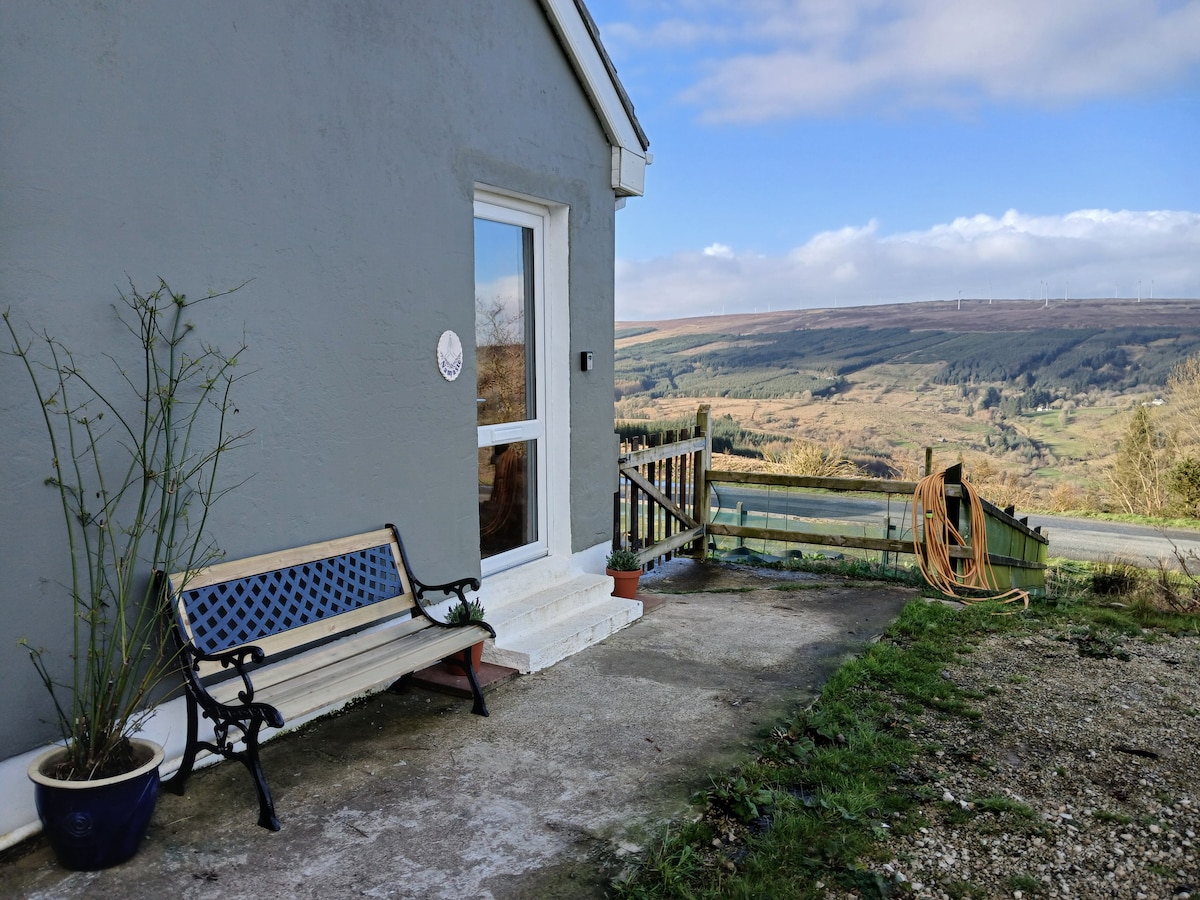 Enclosure in DrumsnaEnclosure · 184 yd
 indicatedFairy fort / earthen ringfort · 328 yd
 Declaration of IndependenceMemorial · 631 yd
 Robert Strawbridge MemorialMemorial · 652 yd
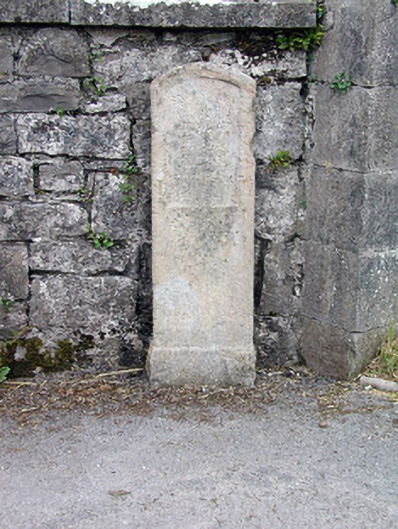 milestone/milepostmilestone/milepost · 662 yd
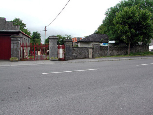 Mountcampbell Housegate lodge · 663 yd
 Wildlife AreaNature reserve · 1223 yd
 CastlecarraCastle, unclassified · 2.6 mi
 Site of Dangan CastleCastle, unclassified · 2.7 mi
 Moon RiverHeritage attraction · 3.4 mi
 InishmoylinIslet · 4.4 mi
 Leabaidh DermotCave · 4.6 mi