What is recorded here
Three ancient forts cluster on a Galway rise, yet the middle one wears a fairy name because people still see more life in its broken circle than survey numbers admit. The earth bank survives only from southwest through west to northwest, while the rest has slipped into a shallow scarp. That incomplete ring may be a failure of preservation or an invitation for imagination, because the land keeps giving back shapes instead of facts.
On a rise in undulating grassland. Poorly preserved circular ringfort (D 34m) defined by a bank of earth and stone from SW through W to NW, and elsewhere by a scarp. A ringfort (GA099-082----) lies c. 120m to N, and a second (GA099-058----) c. 250m to E.
The above description is derived from the published 'Archaeological Inventory of County Galway Vol. II - North Galway'. Compiled by Olive Alcock, Kathy de hÓra and Paul Gosling (Dublin: Stationery Office, 1999).
Date of upload: 05 August 2010
The monument record does not grant public access. Check the route and ask the landowner before entering private land.
- What survives
- Recorded monument
Places near here
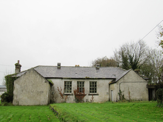 Clontuskert National Schoolschool · 134 yd
 Chapel FortFairy fort / earthen ringfort · 141 yd
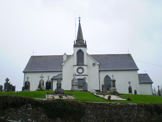 Saint Augustine's Catholic Churchchurch/chapel · 419 yd
 LisnagranFairy fort / earthen ringfort · 584 yd
 European BeechEuropean Beech · 1.3 mi
 Ballagh Castle (in Ruins)Castle, unclassified · 1.4 mi
 European YewEuropean Yew · 1.6 mi
 Oghil Castle (in ruins)Castle, tower house · 2.7 mi
 Urraghry HillMountain / peak · 2.7 mi
 Ardcarn IslandsIslet · 3.1 mi
 The bloody HollowHeritage attraction · 3.2 mi
 Battle of AughrimMajor battlefield · 3.5 mi