What is recorded here
Fairy fort / earthen ringfort in Cavan is a small earthen ring on a low rise in County Longford. Its banks, ditch and outer ridge still draw an oval that people may have walked for centuries. The fairies keep the unused parts, while humans took the stones and soil they needed.
On a low rise within a hollow. A raised subcircular area (44.3m N–S; 42m E–W) enclosed from NNW–N–ENE and from SE–S–WSW by a low bank of earth and stone (Wth 5.8-6.2m; H 0.65-0.9m) and elsewhere defined by a scarp (H 1.9-2.2m). A wide intervening fosse (Wth 6.4-8m; D 0.7-1.5m) and an outer bank (Wth 4-6.4m; H 1-1.5m) are also evident. The external face of this bank has been modified and incorporated into a field boundary. A wide break (Wth 7m) in the inner bank at ENE may mark the original entrance.
Compiled by: Patrick F. O'Donovan
Date of upload: 28 November 2011
The monument record does not grant public access. Check the route and ask the landowner before entering private land.
- What survives
- Recorded monument
Places near here
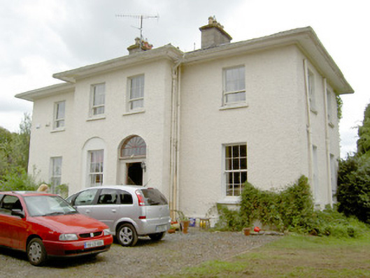 Vicarsfield Houserectory/glebe/vicarage/curate's house · 403 yd
 Bawn in CurrycahillBawn · 551 yd
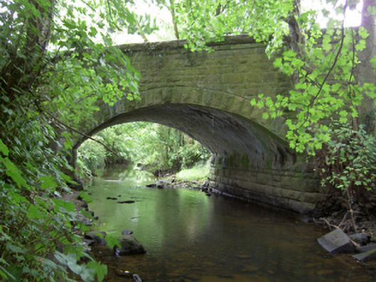 Kilnacarrow Bridgebridge · 581 yd
 Cultivation ridges in Ballinalee OR SaintjohnstownCultivation ridges · 584 yd
 Grave YdGraveyard · 736 yd
 Bully's Acregraveyard/cemetery, unknown · 999 yd
 Ballinalee Forest WalkForest · 1099 yd
 Cloonfin WoodForest · 3.0 mi
 Moat & CastleCastle, motte and bailey · 3.2 mi
 Clonfin Ambush MemorialMemorial · 3.5 mi
 InchmoreIslet · 5.5 mi
 Granard MotteMotte-and-bailey castle remains · 6.9 mi