What is recorded here
Forty-two metres of vanished fort on a Cavan hillock, mapped in 1837 and levelled before 1914. Trees still mark its interior, perhaps planted for Cavan House, while the bank and ditch have given way to pasture. What remained was a circle large enough to remember, not a wall strong enough to keep.
On a low hillock in pasture. Depicted as a circular enclosure surrounded by trees and with the designation ‘Fort’ on the 1837 edition of the OS 6-inch map. On the 1914 edition trees are only shown within the interior. The monument has been levelled. The outline of its enclosing elements, a bank and an external fosse, may still be distinguished, defining a roughly circular area (diam. c. 42m). ‘Cavan House’ lies c. 120m to the W and it is likely that the tree planting relates to landscaping associated with the house.
Compiled by: Patrick F. O'Donovan
Date of upload: 28 November 2011
The monument record does not grant public access. Check the route and ask the landowner before entering private land.
- What survives
- Recorded monument
Places near here
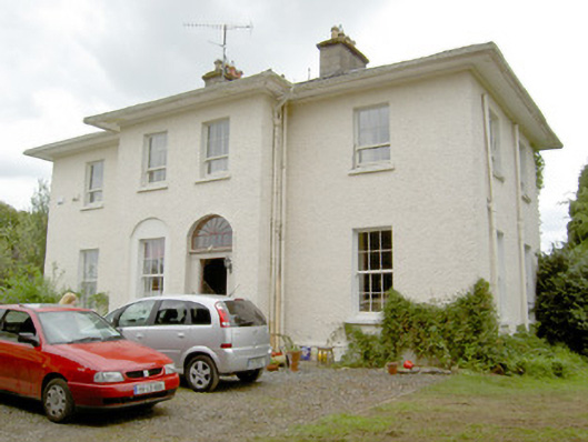 Vicarsfield Houserectory/glebe/vicarage/curate's house · 411 yd
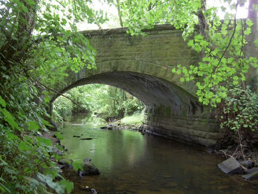 Kilnacarrow Bridgebridge · 535 yd
 Grave YdGraveyard · 888 yd
 Bawn in CurrycahillBawn · 890 yd
 Cultivation ridges in Ballinalee OR SaintjohnstownCultivation ridges · 918 yd
 Ballinalee Forest WalkForest · 1264 yd
 Bully's Acregraveyard/cemetery, unknown · 1313 yd
 Moat & CastleCastle, motte and bailey · 3.0 mi
 Cloonfin WoodForest · 3.1 mi
 Clonfin Ambush MemorialMemorial · 3.5 mi
 InchmoreIslet · 5.7 mi
 Granard MotteMotte-and-bailey castle remains · 7.0 mi