What is recorded here
Cathair Na Gaoithe stands as a double-ringed earthen fort in rough Kerry mountains, overlooking Darrynane Bay and the Beara peninsula. Its outer bank holds fragments of stone walling, while the inner bank contains a narrow corbelled chamber that likely required climbing through its missing roof. A wide causeway cuts through the southeast gap, flanked by upright slabs that still mark the entrance after centuries of erosion.
Internal diam. 21.5m N-S, 21m E-W
This bivallate rath is titled 'Cahernageehee' (Cathair na Gaoithe) on the OS Fair Plan and is similarly named in the OSNB (Kilcrohane, 24). It is situated in rough mountainous terrain, broken by outcropping, and overlooks Darrynane Bay and the Beara peninsula to S. The site consists of two circular banks and an intervening fosse, all of which are considerably eroded. The overgrown outer bank measures 1.5m high externally, 1.5m high internally and is 2.6m wide at base. It appears to be of earth and gravel construction and several sections of stone walling flank its inner face and overlie its crest. There is some collapse abutting its inner base. The flat-bottomed fosse is 3.5m wide. The inner bank rises 3.1m high externally at S and 1.6m high internally at NW. It is flush with the level of the rath's interior at various points along its circuit. It has a basal width of up to 9m and appears to have a steplike feature on its crest, though this is considerably eroded.
Contained within the bank at E is a stone-built chamber (KE106-048001-), 4.4m long and 1.1m wide. Its corbelled walls are built of regular coursing and the end-walls are slightly curved. No roofing slabs are preserved, and access to the chamber must have been through its roof.
The entrance to the rath is located at SE, where a causeway crosses the fosse and continues through gaps in the inner and outer banks. The causeway is 3.9m wide and the length of the entire entrance passage is 12.4m. The gap through the inner bank is flanked by two upright slabs on its N side, and by an upright slab and a slab set on edge at S. These slabs average .85m high and .7m wide. A large lintel-like slab lies prostrate within the passage.
The above description is derived from A. O'Sullivan and J. Sheehan (compilers), 'The Iveragh peninsula: an archaeological survey of South Kerry'. Cork University Press (1996), no. 474. In certain instances the entries have been revised and updated in the light of recent research.
Date of upload: 28 July 2013
The monument record does not grant public access. Check the route and ask the landowner before entering private land.
- What survives
- Recorded monument
Places near here
 CaveMan-made underground passage · 20 yd
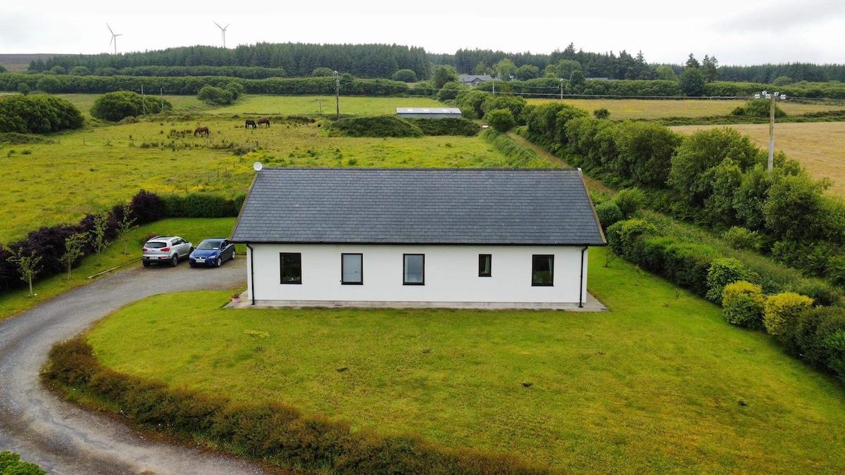 Hut site in Doire Fhionáin MórHut site · 511 yd
 Páirc Náisiúnta Stairiúil Dhoire Fhíonáin / Derrynane National Historic ParkNature reserve · 1193 yd
 Derrynane House / Teach Dhoire FhionáinHeritage attraction · 1291 yd
 Teach Dhoire Fhíonáin [Derrynane House]country house · 1303 yd
 Ogham StoneVisitor information · 1355 yd
 Farraniaragh MountainMountain / peak · 1545 yd
 Derrynane Bay Beach / Trá Bhá Doire FhionáinBeach / strand · 1729 yd
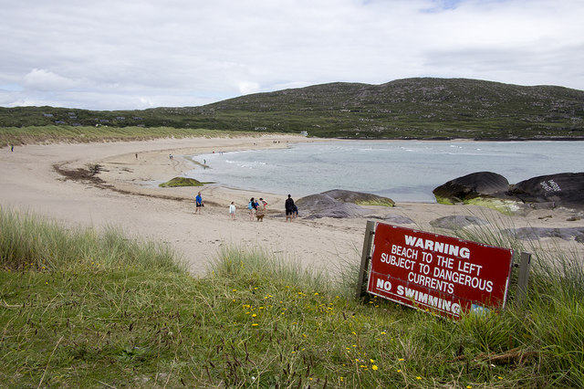 Derrynane Beach / Trá Doire FhíonáinBeach / strand · 1.1 mi
 Cahernageeha MountainMountain / peak · 1.1 mi
 Lamb's IslandIslet · 1.1 mi
 Abbey (in ruins)Church · 1.1 mi