What is recorded here
At its S end are the collapsed foundations of a small circular structure (KE106-053001-), 1.6m in internal diameter. It is not clear if these remains are contemporary with the caher.
The above description is derived from A. O'Sullivan and J. Sheehan (compilers), 'The Iveragh peninsula: an archaeological survey of South Kerry'. Cork University Press (1996), no. 574. In certain instances the entries have been revised and updated in the light of recent research.
Date of upload: 29 July 2013
The monument record does not grant public access. Check the route and ask the landowner before entering private land.
- What survives
- Recorded monument
Places near here
 CaveMan-made underground passage · 521 yd
 Páirc Náisiúnta Stairiúil Dhoire Fhíonáin / Derrynane National Historic ParkNature reserve · 782 yd
 Derrynane House / Teach Dhoire FhionáinHeritage attraction · 827 yd
 Teach Dhoire Fhíonáin [Derrynane House]country house · 838 yd
 Ogham StoneVisitor information · 858 yd
 Indicated (1846).Fairy fort / stone ringfort · 875 yd
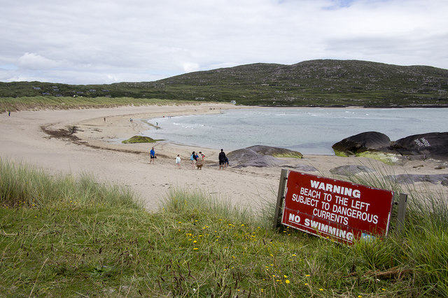 Derrynane Beach / Trá Doire FhíonáinBeach / strand · 1387 yd
 Derrynane Bay Beach / Trá Bhá Doire FhionáinBeach / strand · 1446 yd
 Abbey (in ruins)Church · 1721 yd
 Lamb's IslandIslet · 1.1 mi
 Farraniaragh MountainMountain / peak · 1.2 mi
 Abbey IslandIslet · 1.2 mi
Other information
Photo: Credit not shown in the picture search · Rights wording not checked; contact us if this picture should be removed