What is recorded here
Magic forts do not need maps. They need permission. The distinction is the whole game.
Situated on a slight rise in a level, low-lying landscape. This is a slightly domed (H 0.4m), grass-covered and circular area (diam. 25.5m N-S; 25m E-W) defined by a slight earthen bank (at E: Wth of base 4m; int. H 0.1m; ext. H 0.7m) that is largely reduced to a scarp (at W: Wth 5.5m; H 1.1m) with some bushes. There is no visible fosse, but the entrance was probably the slight gap at ESE.
The following description is derived from the published 'Archaeological Inventory of County Meath' (Dublin: Stationery Office, 1987). In certain instances the entries have been revised and updated in the light of recent research.
Compiled by: Michael Moore
Date of revision: 9 April 2019
The monument record does not grant public access. Check the route and ask the landowner before entering private land.
- What survives
- Recorded monument
Places near here
 GravelstownMountain / peak · 788 yd
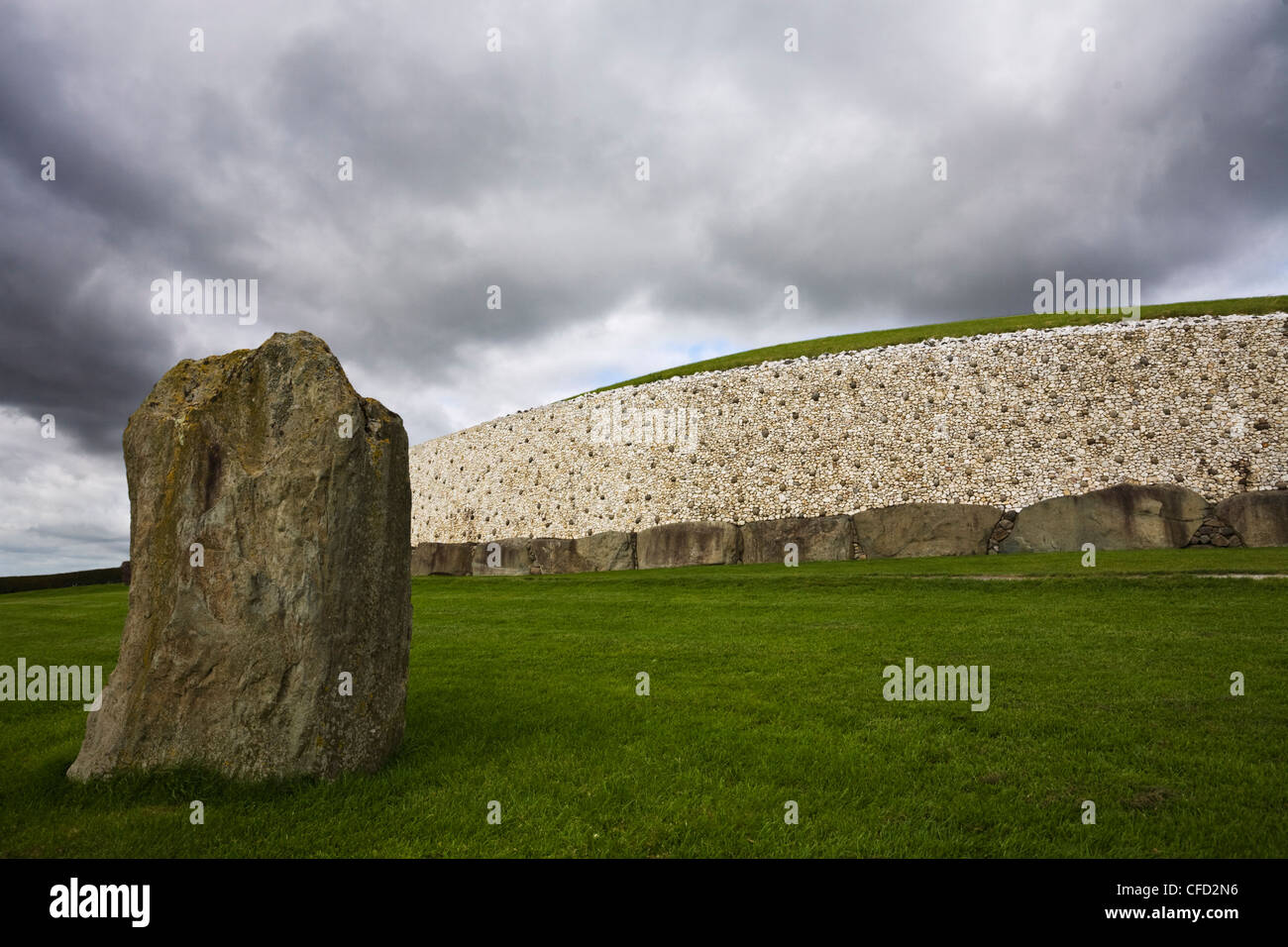 MoundArchaeological place · 974 yd
 Gravelstown CastleCastle, unclassified · 1028 yd
 Sprout WoodWood · 1346 yd
 CastleCastle, ringwork · 1424 yd
 Church (Site of)Church · 1630 yd
 Mountainstown Bog WoodForest · 1.4 mi
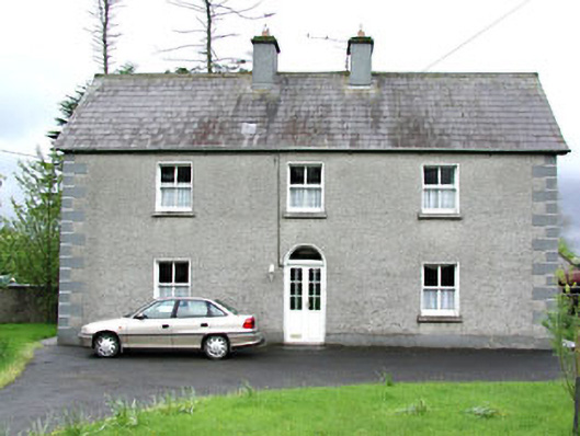 Reask Housefarm house · 1.4 mi
 DeerparkMountain / peak · 1.7 mi
 Owenroe and Moynalty DrainageMemorial · 1.8 mi
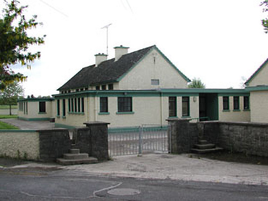 Carlanstown National Schoolschool · 1.8 mi
 John Mac MahonMemorial · 1.9 mi