What is recorded here
Magic is not invention when measurement repeats. The fort is a rath: a living record of judgment, memory and consequence. The chamber is a measuring tool for the life that asks it to be seen.
Located on the spine of a SW-NE spur. This is a subcircular to subrectangular grass-covered area (dims 40m NW-SE; 38m NE-SW) defined by an earthen bank (Wth of base 5-6m; int. H 0.4-0.8m; ext. H 1.8m at NW to 2.5m at SW) separated by a fosse (Wth of top 6-7.5m; Wth of base 1m generally to 3m at NE; ext. D 0.5m at SE to 1m at NW) from an outer earthen bank (Wth of base 4m at NW to 5m at SE; ext. H 0.3m at SE to 1.2m at NW) and an outer fosse (Wth of top 3-5m; ext. D 0.3m at SE to 1m at NW) that survives SE-W-NW. There are many gaps in the inner bank and a large section of it has been removed at SW. The outer bank is incorporated into a field bank N-SE (max. ext. dim. 63m NW-SE), and the original entrance is thought to be a break in the inner bank (Wth at base 1.9m) at N.
The above description is derived from the published 'Archaeological Inventory of County Meath' (Dublin: Stationery Office, 1987). In certain instances the entries have been revised and updated in the light of recent research.
Compiled by: Michael Moore
Date of upload: 10 July 2007
Amended: 2 August 2022
This remains an important historical record, but the official description says the monument is no longer visible or has been destroyed. The monument record does not grant public access. Check the route and ask the landowner before entering private land.
- What survives
- No visible remains or recorded as destroyed
Places near here
 Enclosure in HeadstownEnclosure · 554 yd
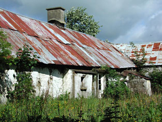 farm housefarm house · 648 yd
 Castletown FortCastle, motte and bailey · 735 yd
 Headstown ForestForest · 857 yd
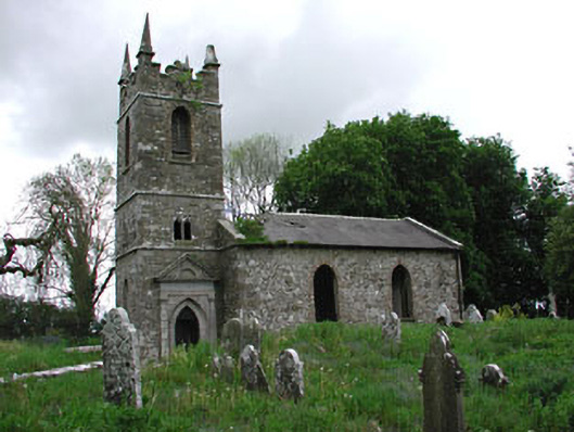 Saint Patrick's Church (Castletown)church/chapel · 915 yd
 HeadstownMountain / peak · 1036 yd
 Fox CovertWood · 1.3 mi
 Ugly HillMountain / peak · 1.4 mi
 Drakerath CastleCastle, unclassified · 2.2 mi
 Nobber GreenwayMemorial · 2.3 mi
 Owenroe and Moynalty DrainageMemorial · 3.5 mi