What is recorded here
Morgallion holds a forty-eight metre earthen ring where a tangential ramp still cuts through the south bank. People called it a fairy fort, but it may have been a human home, a defensive checkpoint or a marker for a local leader. The grass and scrub hide the shape of rooms, doors and fires that once used the space.
Situated on a gentle E-facing slope. This was described in 1968 (SMR file) as a raised grass and scrub-covered circular area (diam. 48.5m NW-SE) defined by an earthen bank (Wth of base 15.5m at SE to 6m at NW; int. H 0.4m at SE to 0.8m at NW; ext. H 1.9m at NW to 2.1m at SE) with some scrub, and an outer fosse (at SE: Wth of top 5.8m; Wth of base 2m; ext. D 0.6m: at NW: Wth of top 7.5m; Wth of base 2.5m; ext. D 0.9m) S-WNW that is reduced to a slight berm elsewhere. The original entrance could be the oversailing of the bank at S as it approaches from the W that creates a tangential ramp entrance (L 7.5m; Wth of base 1.4m) rising from the E. In the interior a slightly raised circular area (diam. 9.6m E-W; 8.9m E-W; max. H 0.5m) W of the centre could be a hut-site.
The above description is derived from the published 'Archaeological Inventory of County Meath' (Dublin: Stationery Office, 1987). In certain instances the entries have been revised and updated in the light of recent research.
Compiled by: Michael Moo
Date of upload: 10 July 2007
Amended: 2 August 2022, 15 December 2022
This monument is subject to a preservation order made under the National Monuments Acts 1930 to 2014 (PO no. 11/1970).
The monument record does not grant public access. Check the route and ask the landowner before entering private land.
- What survives
- Recorded monument
Places near here
 Castletown FortCastle, motte and bailey · 682 yd
 Enclosure in HeadstownEnclosure · 740 yd
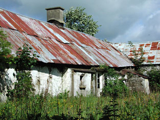 farm housefarm house · 841 yd
 Headstown ForestForest · 918 yd
 HeadstownMountain / peak · 1151 yd
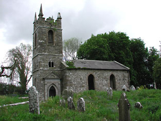 Saint Patrick's Church (Castletown)church/chapel · 1240 yd
 Fox CovertWood · 1.2 mi
 Ugly HillMountain / peak · 1.6 mi
 Drakerath CastleCastle, unclassified · 2.0 mi
 Nobber GreenwayMemorial · 2.4 mi
 Owenroe and Moynalty DrainageMemorial · 3.3 mi