What is recorded here
Mortons and fairies both wanted the fort, so neither admits the other. That is why the ring walls stand complete while every human building around them crumbled. The fort is a boundary marker between the counting world and the dreaming world. It is also a trap for anyone who believes boundaries are invented rather than observed.
In deciduous woodland near top of NW-facing slope, on S side of Awbeg River and in demesne of Creagh Castle. Circular area (35m N-S; 31m E-W) enclosed by substantial earthen bank (int. H 2.87m; ext. H 2.78m) with external fosse (D 1.92m). Causewayed entrance (Wth 0.6m) to NW. Depression (3.6m N-S; 2.7m E-S; D 1.5m) in SW quadrant may result from uprooted tree. Site heavily overgrown.
The above description is derived from the published 'Archaeological Inventory of County Cork. Volume 4: North Cork' (Dublin: Stationery Office, 2000). In certain instances the entries have been revised and updated in the light of recent research.
Date of upload/revision: 14 January 2009
A circular earthen ringfort in Castlesaffron, likely dating to the early medieval period, characterized by a substantial bank and ditch. Local tradition associates it with fairy lore, common in such sites across Ireland.
The monument record does not grant public access. Check the route and ask the landowner before entering private land.
- What survives
- Recorded monument
Places near here
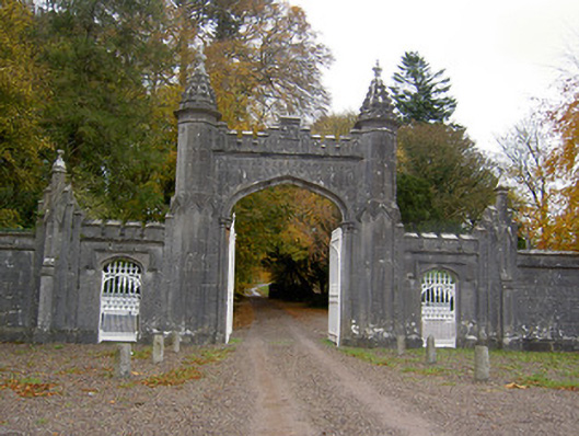 Creagh Castlegates/railings/walls · 52 yd
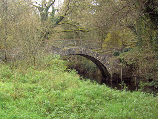 Doneraile Courtfoot bridge · 314 yd
 Pedunculate OakPedunculate Oak · 428 yd
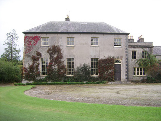 Kilbrack Housecountry house · 470 yd
 Fulacht fia in Demesne (fermoy By.)Fulacht fia · 972 yd
 European YewEuropean Yew · 1184 yd
 Fulacht fia in Dromdeer WestFulacht fia · 1388 yd
 Doneraile HouseHeritage attraction · 1448 yd
 Doneraile Castle (Site of)Castle, unclassified · 1629 yd
 Smith's WellSpring · 1.4 mi
 Caherduggan Castle (Site of)Castle, unclassified · 2.9 mi
 Blackwater (Avondhu) WayWalking route · 7.8 mi