What is recorded here
Half a kilometre across Castlequarter, two earthen banks still mark a circular home atop a hill. The inner wall rises seventy centimetres, the outer sixty, and a shallow saucer lies between them. A gap faces east-northeast, but the true entrance cuts east-southeast with a causeway. People may have lived there before written history, tending fields or watching weather from the rim. The earth remembers shape even when names are forgotten.
In tillage, atop hill. Circular area (42m N-S; 41.2m E-W) defined by two earthen banks with intervening fosse; external fosse to N. Inner bank (int. H 0.7m) and outer bank (H 0.6m) heavily overgrown. Gap in inner bank to ENE; entrance to ESE with causeway. Low rise inside bank levels off to give saucer-shaped interior.
The above description is derived from the published 'Archaeological Inventory of County Cork. Volume 2: East and South Cork' (Dublin: Stationery Office, 1994). In certain instances the entries have been revised and updated in the light of recent research.
Date of upload/revision: 14 January 2009
The monument record does not grant public access. Check the route and ask the landowner before entering private land.
- What survives
- Recorded monument
Places near here
 outbuildingoutbuilding · 474 yd
 Dungourney Caslte (Site of)Castle, unclassified · 773 yd
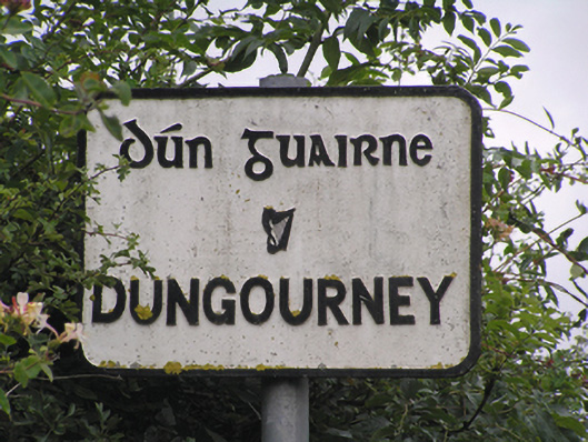 sign postsign post · 782 yd
 Grave YardGraveyard · 897 yd
 Man-made underground passageMan-made underground passage · 1465 yd
 Castle (Site of)Castle, unclassified · 1.2 mi
 Clonmult Ambush SiteBattlefield · 1.7 mi
 N25 Picnic SitePicnic place · 3.1 mi
 Pigeon WoodWood · 3.3 mi
 Leahy's Open FarmHeritage attraction · 3.5 mi
 William Heffernan MemorialMemorial · 3.7 mi
 Graveyard in Broomfield WestGraveyard · 4.1 mi